|
search place name
|
||
Labardén (Buenos Aires, Argentina)Labardén is a town in the Buenos Aires region of Argentina. An overview map of the region around Labardén is displayed below.
regional and 3d topo map of Labardén, Argentina ::

Labardén airports ::
The nearest airport is VLG - Villa Gesell, located 100.3 km east of Labardén.
Other airports nearby include TDL - Tandil (105.2 km west), MDQ - Mar Del Plata (118.8 km south east), LPG - La Plata (220.2 km north), Nearby towns ::
[all distances 'as the bird flies' and approximate] 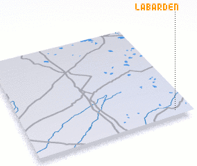 Places with similar names to Labardén, Argentina ::
// Libertinia (IT)
// Libardón (ES)
// La Bretaña (CO)
// Labretonie (FR)
// Le Bardon (FR)
// Libberton (GB)
// Liberton (GB)
// La Bertine (FR)
// La Bertinie (FR)
// La Bretonne (FR)
Disclaimer :: Information on this page comes without warranty of any kind |
||
|
Where is Labardén? Elevation and coordinates ::
Latitude (lat): 36°57'0"S Longitude (lon): 58°6'0"W
Elevation (approx.): 29m (map arrows pan, magnifying glasses zoom) |
||
|
Visiting Labardén? Hotel/Accommodation ::
Book a hotel in Labardén Travel Guide ::
Buy a travel guide for Argentina rental cars ::
car rental offers GPS waypoint ::
download a GPX waypoint (PoI) of Labardén for your GPS receiver
|
||