|
search place name
|
||
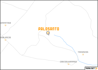
Palo Santo (Salta, Argentina)Palo Santo is a town in the Salta region of Argentina. An overview map of the region around Palo Santo is displayed below.
regional and 3d topo map of Palo Santo, Argentina ::
Palo Santo airports ::
The nearest airport is ORA - Oran, located 198.0 km west of Palo Santo.
Other airports nearby include BJO - Bermejo (210.8 km north west), BYC - Yacuiba (218.0 km north west), Nearby towns ::
[all distances 'as the bird flies' and approximate] 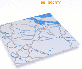 Places with similar names to Palo Santo, Argentina ::
// Pleasant (US)
// Palo Santo (PA)
// Palo Santo (PE)
// Pluzunet (FR)
// Plasnewyd (GB)
// Palo Santo (AR)
// Plazanet (FR)
Disclaimer :: Information on this page comes without warranty of any kind |
||
|
Where is Palo Santo? Elevation and coordinates ::
Latitude (lat): 23°35'0"S Longitude (lon): 62°27'0"W
Elevation (approx.): 207m (map arrows pan, magnifying glasses zoom) |
||
|
Visiting Palo Santo? Hotel/Accommodation ::
Book a hotel in Palo Santo Travel Guide ::
Buy a travel guide for Argentina rental cars ::
car rental offers GPS waypoint ::
download a GPX waypoint (PoI) of Palo Santo for your GPS receiver
|
||