|
search place name
|
||
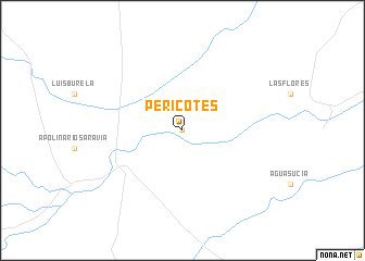
Pericotes (Salta, Argentina)Pericotes is a town in the Salta region of Argentina. An overview map of the region around Pericotes is displayed below.
regional and 3d topo map of Pericotes, Argentina ::
Pericotes airports ::
The nearest airport is JUJ - Jujuy, located 118.1 km west of Pericotes.
Other airports nearby include ORA - Oran (143.9 km north), SLA - Salta (165.1 km west), BJO - Bermejo (184.3 km north), Nearby towns ::
Las Flacas (0.0km north) //
[all distances 'as the bird flies' and approximate]  Places with similar names to Pericotes, Argentina ::
// Periquitos (BR)
// Periquitos (BR)
// Pyrgotós (GR)
// Paragaudis (LT)
// Periquitos (CO)
// Parkutse (IN)
// Paragatos (MX)
// Paragatos (MX)
// Paracotos (VE)
// Porokitsʼ (BY)
Disclaimer :: Information on this page comes without warranty of any kind |
||
|
Where is Pericotes? Elevation and coordinates ::
Latitude (lat): 24°24'0"S Longitude (lon): 63°56'0"W
Elevation (approx.): 343m (map arrows pan, magnifying glasses zoom) |
||
|
Visiting Pericotes? Hotel/Accommodation ::
Book a hotel in Pericotes Travel Guide ::
Buy a travel guide for Argentina rental cars ::
car rental offers GPS waypoint ::
download a GPX waypoint (PoI) of Pericotes for your GPS receiver
|
||