|
search place name
|
||
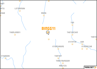
Ainggyi (Myanmar)Ainggyi is a town in Myanmar. An overview map of the region around Ainggyi is displayed below.
regional and 3d topo map of Ainggyi, Myanmar ::
Ainggyi airports ::
The nearest airport is MDL - Mandalay Intl, located 179.0 km north east of Ainggyi.
Other airports nearby include AKY - Sittwe (189.4 km south west), KYP - Kyaukpyu (203.7 km south west), Nearby towns ::
Hpalanma (1.9km south) //
Kyunchaung (6.5km south east) //
Paing (7.6km north) //
[all distances 'as the bird flies' and approximate] 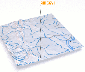 Places with similar names to Ainggyi, Myanmar ::
// Ancoyo (BO)
// Ancuya (CO)
// An Nawwāqīyah (LY)
// Ancoyo (PE)
// Ancuyo (PE)
// Anguyo (PE)
// Angoya (RU)
// An Nuqay‘ah (SA)
// An Nuqay‘ah (SD)
// An Nuqay‘ah (QA)
Disclaimer :: Information on this page comes without warranty of any kind |
||
|
Where is Ainggyi? Elevation and coordinates ::
Latitude (lat): 21°5'0"N Longitude (lon): 94°23'0"E
Elevation (approx.): 349m (map arrows pan, magnifying glasses zoom) |
||
|
Visiting Ainggyi? Hotel/Accommodation ::
Book a hotel in Ainggyi Travel Guide ::
Buy a travel guide for Myanmar rental cars ::
car rental offers GPS waypoint ::
download a GPX waypoint (PoI) of Ainggyi for your GPS receiver
|
||