|
search place name
|
||
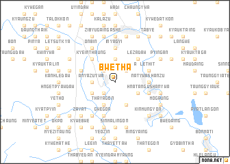
Bwetha (Myanmar)Bwetha is a town in Myanmar. An overview map of the region around Bwetha is displayed below.
regional and 3d topo map of Bwetha, Myanmar ::
Bwetha airports ::
The nearest airport is RGN - Yangon Intl, located 208.8 km south of Bwetha.
Other airports nearby include HEH - Heho (221.9 km north), Nearby towns ::
Daunggya (2.6km north east) //
Pyinmabin (2.6km north west) //
Zibyuthaung Ashe (2.6km south west) //
Zibyuthaung Anauk (2.6km south west) //
Chaunggan (3.7km north) //
Anyazuywa (3.5km west) //
Gwegyi (4.0km south east) //
Shweenyaunggin (4.0km south east) //
Ponye-in (4.1km south east) //
Thayagon (4.1km south west) //
Naungchozeik Anauk (4.1km south west) //
Zibyuthaung (4.0km south west) //
Kyidaw (5.1km north east) //
Lezadaw (5.1km north east) //
Dothaung (5.1km north west) //
Kye-inthaung (5.1km north west) //
Natywa-shanzu (5.3km east) //
Inyagyi (5.6km north) //
Le-thit (5.6km east) //
Hlwazin (5.6km east) //
Thandaingkhin (5.6km west) //
Hnatangu Shanywa (5.6km east) //
Gwegon (5.8km south) //
Sabagyi Ashe (5.8km south) //
Odeinwa (6.6km south west) //
Sabagyi Anauk (6.6km south west) //
Onbin (6.6km north west) //
Oktwin (6.6km north west) //
Thugaungbyit (7.4km north) //
[all distances 'as the bird flies' and approximate]  Places with similar names to Bwetha, Myanmar :: Disclaimer :: Information on this page comes without warranty of any kind |
||
|
Where is Bwetha? Elevation and coordinates ::
Latitude (lat): 18°46'0"N Longitude (lon): 96°28'0"E
Elevation (approx.): 37m (map arrows pan, magnifying glasses zoom) |
||
|
Visiting Bwetha? Hotel/Accommodation ::
Book a hotel in Bwetha Travel Guide ::
Buy a travel guide for Myanmar rental cars ::
car rental offers GPS waypoint ::
download a GPX waypoint (PoI) of Bwetha for your GPS receiver
|
||