|
search place name
|
||
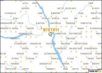
Byetkyi (Sagaing, Myanmar)Byetkyi is a town in the Sagaing region of Myanmar. An overview map of the region around Byetkyi is displayed below.
regional and 3d topo map of Byetkyi, Myanmar ::
Byetkyi airports ::
The nearest airport is MDL - Mandalay Intl, located 155.4 km south of Byetkyi.
Other airports nearby include IMF - Imphal (249.6 km north west), Nearby towns ::
Inpetlet (2.5km north west) //
Thabutkon (3.4km east) //
Toktalok (3.7km south) //
Nyaungzwe (3.7km south) //
Ondaw (3.9km north east) //
Ywetkyan (3.9km south east) //
Kawthandi (4.1km north east) //
Tadaw (4.1km north east) //
Mogyobyit (5.0km north east) //
Inbintha (5.0km north west) //
Tingokkyi (5.0km south east) //
Ywathit (5.0km south west) //
Myauk-in (5.1km west) //
Tabin (5.1km east) //
Mingon (5.8km north) //
Gyogya (5.8km north) //
Kyunle (5.8km north) //
Kyaunggon (6.5km south east) //
Chinmyitkyin (6.5km south east) //
Okpo (6.3km north east) //
Chaungzon (6.3km south west) //
Palangyaing (6.3km south west) //
Nagyigon (6.3km south east) //
Nyaungbingyi (7.4km north) //
Zigon (7.4km north) //
Ye-ugon (6.8km west) //
Letsaunggan (7.4km south) //
Inboktaw (7.6km north) //
Mogaung (7.6km north) //
[all distances 'as the bird flies' and approximate] 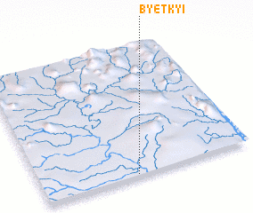
Disclaimer :: Information on this page comes without warranty of any kind |
||
|
Where is Byetkyi? Elevation and coordinates ::
Latitude (lat): 23°1'0"N Longitude (lon): 95°27'0"E
Elevation (approx.): 126m (map arrows pan, magnifying glasses zoom) |
||
|
Visiting Byetkyi? Hotel/Accommodation ::
Book a hotel in Byetkyi Travel Guide ::
Buy a travel guide for Myanmar rental cars ::
car rental offers GPS waypoint ::
download a GPX waypoint (PoI) of Byetkyi for your GPS receiver
|
||