|
search place name
|
||
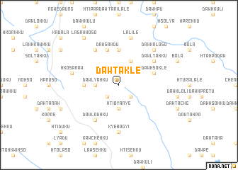
Dawta-kle (Kayah, Myanmar)Dawta-kle is a town in the Kayah region of Myanmar. An overview map of the region around Dawta-kle is displayed below.
regional and 3d topo map of Dawta-kle, Myanmar ::
Dawta-kle airports ::
The nearest airport is HEH - Heho, located 154.3 km north of Dawta-kle.
Nearby towns ::
Lawbya-ku (2.5km south west) //
Dawta-naw (2.5km south east) //
Dawlya-hku (3.5km west) //
Hti-bya-nye (3.7km south) //
Lawsa-hku (4.1km north east) //
Lawhko-hku (5.2km west) //
Hpya-lya (5.6km north) //
Dawhso-klè (5.6km east) //
Dawplè (5.8km north) //
Hto-hpo-klo (5.8km north) //
Dawsawdu (5.8km north) //
Dawlya-hku (6.4km north east) //
Dawta-da (6.6km north west) //
Dawlawhku (6.6km south west) //
Kyebogyi (7.4km south) //
Hko-sa-maw (7.2km west) //
La-li-lè (7.6km north) //
Dawka-lo-so (7.6km north east) //
La-saw-wo-so (9.1km north west) //
[all distances 'as the bird flies' and approximate] 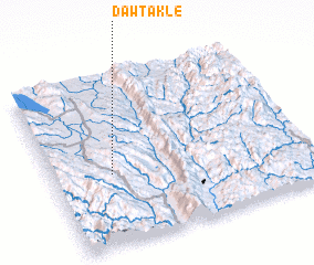 Places with similar names to Dawta-kle, Myanmar ::
// Tata-Gol (RU)
// Dadağlı (TR)
// Dadağlı (TR)
// Dedegül (TR)
// Dedeoğlu (TR)
// Dudaklı (TR)
// Dodo-Gol (RU)
// Kāl-e Dadeh (IR)
// Tatakouélé (BF)
// Tatoukila (CG)
Disclaimer :: Information on this page comes without warranty of any kind |
||
|
Where is Dawta-kle? Elevation and coordinates ::
Latitude (lat): 19°25'0"N Longitude (lon): 97°14'0"E
Elevation (approx.): 1392m (map arrows pan, magnifying glasses zoom) |
||
|
Visiting Dawta-kle? Hotel/Accommodation ::
Book a hotel in Dawta-kle Travel Guide ::
Buy a travel guide for Myanmar rental cars ::
car rental offers GPS waypoint ::
download a GPX waypoint (PoI) of Dawta-kle for your GPS receiver
|
||