|
search place name
|
||
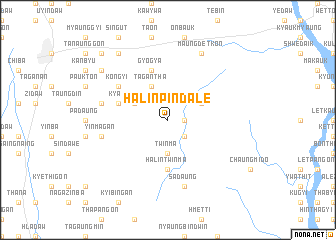
Halin Pindale (Sagaing, Myanmar)Halin Pindale is a town in the Sagaing region of Myanmar. An overview map of the region around Halin Pindale is displayed below.
regional and 3d topo map of Halin Pindale, Myanmar ::
Halin Pindale airports ::
The nearest airport is MDL - Mandalay Intl, located 89.9 km south of Halin Pindale.
Other airports nearby include LSH - Lashio (205.7 km east), HEH - Heho (218.8 km south east), Nearby towns ::
Medawgon (1.7km east) //
Ngapi-o (2.5km south east) //
Twinma (3.7km south) //
Gwegon (3.9km north east) //
Tagantha (4.1km north west) //
Nyaunggaw (3.9km north west) //
Kyaungbangan (3.9km north west) //
Halin Taungbo (5.6km south) //
Halin Twinma (5.6km south) //
Thitchobin (5.5km west) //
Gyogya (5.8km north) //
Thabyethitcho (6.3km north west) //
Kongyi (6.3km north west) //
Sadaung (7.6km south) //
Yinmagan (7.1km west) //
Chaungzon (7.1km west) //
Maungdetkon (8.2km north east) //
Minbe (9.0km north west) //
Shwegu (8.8km north west) //
Mingyaung (10.1km north west) //
[all distances 'as the bird flies' and approximate] 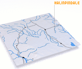 Places with similar names to Halin Pindale, Myanmar :: Disclaimer :: Information on this page comes without warranty of any kind |
||
|
Where is Halin Pindale? Elevation and coordinates ::
Latitude (lat): 22°30'0"N Longitude (lon): 95°49'0"E
Elevation (approx.): 117m (map arrows pan, magnifying glasses zoom) |
||
|
Visiting Halin Pindale? Hotel/Accommodation ::
Book a hotel in Halin Pindale Travel Guide ::
Buy a travel guide for Myanmar rental cars ::
car rental offers GPS waypoint ::
download a GPX waypoint (PoI) of Halin Pindale for your GPS receiver
|
||