|
search place name
|
||
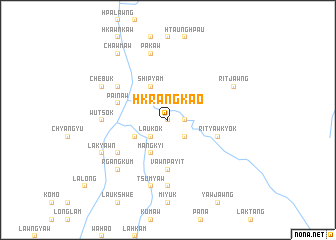
Hkrangkao (Kachin State, Myanmar)Hkrangkao is a town in the Kachin State region of Myanmar. An overview map of the region around Hkrangkao is displayed below.
regional and 3d topo map of Hkrangkao, Myanmar ::
Hkrangkao airports ::
The nearest airport is MYT - Myitkyina, located 142.7 km south west of Hkrangkao.
Other airports nearby include PBU - Putao (144.0 km north west), Nearby towns ::
Rawngtsaw (0.0km north) //
Hkringmaw (1.9km north) //
Chawngrang (1.7km east) //
Laukok (2.5km south west) //
Pāwawnbuk (2.5km south east) //
Shipyām (4.1km north west) //
Hpyikrang (3.8km south west) //
Mangkyi (4.1km south west) //
Vawnpayit (5.6km south) //
Painaw (5.3km west) //
Rityawkyok (5.3km east) //
Wulang (6.2km north west) //
Shangkyok (6.2km south west) //
Wutsok (6.6km west) //
Rawng-aw (7.4km south) //
Pakaw (7.6km north) //
Tsumyaw (7.6km south) //
Rgangkum (7.5km south west) //
Chebuk (7.6km north west) //
Lakyawn (7.6km south west) //
Ritjawng (7.6km north east) //
Chawmaw (8.9km north west) //
[all distances 'as the bird flies' and approximate] 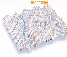 Places with similar names to Hkrangkao, Myanmar ::
// Crnogača (BA)
// Karıncak (TR)
// Kaôh Rŭng (2) (KH)
// Kruenggeukueh (ID)
// Garin Koki (NE)
// Garin Kouka (NE)
// Keri Ngakou (SN)
// Garin Kuka (NG)
// Garinggagu (PG)
// Korangka (PG)
Disclaimer :: Information on this page comes without warranty of any kind |
||
|
Where is Hkrangkao? Elevation and coordinates ::
Latitude (lat): 26°19'0"N Longitude (lon): 98°20'0"E
Elevation (approx.): 1472m (map arrows pan, magnifying glasses zoom) |
||
|
Visiting Hkrangkao? Hotel/Accommodation ::
Book a hotel in Hkrangkao Travel Guide ::
Buy a travel guide for Myanmar rental cars ::
car rental offers GPS waypoint ::
download a GPX waypoint (PoI) of Hkrangkao for your GPS receiver
|
||