|
search place name
|
||
Ho-hsa (Shan, Myanmar)Ho-hsa is a town in the Shan region of Myanmar. An overview map of the region around Ho-hsa is displayed below.
regional and 3d topo map of Ho-hsa, Myanmar ::

Ho-hsa airports ::
The nearest airport is LSH - Lashio, located 27.6 km north west of Ho-hsa.
Other airports nearby include KET - Kengtung (241.8 km south east), Nearby towns ::
Nā-ka (0.0km north) //
Tawne (1.7km west) //
Na-hka (1.9km north) //
Kut-yom (2.5km south west) //
Töngpang (2.5km south west) //
Nam-hen (3.4km west) //
Mān Kāt (3.4km east) //
Pānglaw (3.9km south west) //
Nā-nang (3.9km north east) //
Mān Kyawng (5.0km south west) //
Nā-leng (5.0km south west) //
Ho-pai (5.4km west) //
Ho-nang (5.8km north) //
Möng-pai (6.3km south west) //
Kongmöng (6.5km south east) //
Namlen (7.4km north) //
Pāng-kwai (7.1km west) //
Nā-long (7.1km west) //
Kyuti (7.1km west) //
Pāng-leng (7.6km south west) //
Nā-lu (7.8km south east) //
Ha-mö (8.2km south east) //
Nā-yok (8.8km north west) //
Long-hawm (8.8km south west) //
Mān-kye (9.0km north west) //
Mān Kang (9.0km north west) //
Nawngkut (8.8km south east) //
[all distances 'as the bird flies' and approximate] 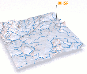 Places with similar names to Ho-hsa, Myanmar ::
Disclaimer :: Information on this page comes without warranty of any kind |
||
|
Where is Ho-hsa? Elevation and coordinates ::
Latitude (lat): 22°51'0"N Longitude (lon): 97°59'0"E
Elevation (approx.): 594m (map arrows pan, magnifying glasses zoom) |
||
|
Visiting Ho-hsa? Hotel/Accommodation ::
Book a hotel in Ho-hsa Travel Guide ::
Buy a travel guide for Myanmar rental cars ::
car rental offers GPS waypoint ::
download a GPX waypoint (PoI) of Ho-hsa for your GPS receiver
|
||