|
search place name
|
||
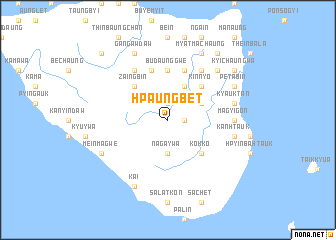
Hpaungbet (Rakhine, Myanmar)Hpaungbet is a town in the Rakhine region of Myanmar. An overview map of the region around Hpaungbet is displayed below.
regional and 3d topo map of Hpaungbet, Myanmar ::
Hpaungbet airports ::
The nearest airport is KYP - Kyaukpyu, located 74.3 km north of Hpaungbet.
Other airports nearby include SNW - Thandwe (74.9 km south east), AKY - Sittwe (172.7 km north west), Nearby towns ::
Letpangôn (1.9km north) //
Dodan (1.8km east) //
Naga-ywa (3.7km south) //
Ngaungbin Hla (4.1km north east) //
Letmabyin (4.0km north east) //
Kinnyo (5.1km north east) //
Zaingbin (5.1km north west) //
Kôkko (5.1km south east) //
Budaunggwe (5.6km north) //
Natpyin (5.8km north) //
Ngapongôn (5.8km north) //
Minbyin (6.6km north east) //
Minseikpyin (6.6km north east) //
Panchan (6.6km north west) //
Magyigôn (7.0km east) //
Maungmagan (7.0km east) //
Kyauktan (7.3km east) //
Kanhtauk (7.3km east) //
Tawhtu (7.7km north east) //
Kinde (7.7km north east) //
Petabin (7.9km north east) //
Mi Launghtaung (7.9km north east) //
Myatmachaung (8.2km north east) //
Gangawdaw (8.2km north west) //
Kai (8.2km south west) //
Meinmagwe (7.9km south west) //
Kyichaung-wa (9.0km north east) //
Salatpyin (9.0km north east) //
Sanatchaung (9.1km north east) //
[all distances 'as the bird flies' and approximate] 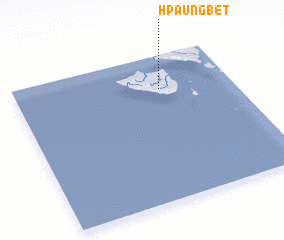
Disclaimer :: Information on this page comes without warranty of any kind |
||
|
Where is Hpaungbet? Elevation and coordinates ::
Latitude (lat): 18°46'0"N Longitude (lon): 93°40'0"E
Elevation (approx.): 25m (map arrows pan, magnifying glasses zoom) |
||
|
Visiting Hpaungbet? Hotel/Accommodation ::
Book a hotel in Hpaungbet Travel Guide ::
Buy a travel guide for Myanmar rental cars ::
car rental offers GPS waypoint ::
download a GPX waypoint (PoI) of Hpaungbet for your GPS receiver
|
||