|
search place name
|
||
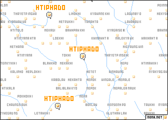
Htiphado (Kayin, Myanmar)Htiphado is a town in the Kayin region of Myanmar. An overview map of the region around Htiphado is displayed below.
regional and 3d topo map of Htiphado, Myanmar ::
Htiphado airports ::
The nearest airport is RGN - Yangon Intl, located 139.0 km south west of Htiphado.
Nearby towns ::
Plawkhi (1.9km north) //
Tokhi (3.5km west) //
Mekakhi (4.0km south west) //
Metet (4.1km south east) //
Kwinawhta (5.1km north east) //
Wamelu (5.1km north west) //
Sawbohtikhi (5.6km west) //
Mèpok (5.8km south) //
Bawhpawkhi (5.8km north) //
Mekahta (5.8km south) //
Lo-e-khi (6.5km north west) //
Thayetpinseik (7.1km east) //
Mèpok (7.6km south) //
Blawkho (7.3km west) //
Tanahta (7.6km north) //
Wingale (7.7km south east) //
Kabolaw (7.7km south west) //
Mawhta (7.7km south west) //
Baliblawkyo (8.2km south west) //
Winmaung (8.0km south east) //
Mētrukhi (8.2km north west) //
Mekadikhi (8.0km north west) //
Kyaukpya (9.1km north west) //
Mekadi (9.0km north west) //
Kyagaiseik (9.0km north east) //
[all distances 'as the bird flies' and approximate] 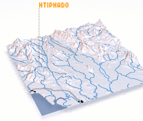 Places with similar names to Htiphado, Myanmar ::
Disclaimer :: Information on this page comes without warranty of any kind |
||
|
Where is Htiphado? Elevation and coordinates ::
Latitude (lat): 17°38'0"N Longitude (lon): 97°12'0"E
Elevation (approx.): 139m (map arrows pan, magnifying glasses zoom) |
||
|
Visiting Htiphado? Hotel/Accommodation ::
Book a hotel in Htiphado Travel Guide ::
Buy a travel guide for Myanmar rental cars ::
car rental offers GPS waypoint ::
download a GPX waypoint (PoI) of Htiphado for your GPS receiver
|
||