|
search place name
|
||
Humukala (Kayah, Myanmar)Humukala is a town in the Kayah region of Myanmar. An overview map of the region around Humukala is displayed below.
regional and 3d topo map of Humukala, Myanmar ::

Humukala airports ::
The nearest airport is HEH - Heho, located 194.6 km north of Humukala.
Nearby towns ::
Kathawchi (0.0km north) //
Belako (2.6km south east) //
Buku (5.1km south east) //
Hto-ka-hto (5.6km north) //
Ka-pu-so (5.6km north) //
Kwachi (5.6km south) //
Wewa Doko (6.4km north west) //
Mawtudo (7.0km west) //
Ka-pwè (7.2km east) //
Shoki (7.6km south) //
Lepo (8.2km south east) //
Bakaleko (7.9km south west) //
Taohokaw (8.9km south west) //
Hta-hpo-daw (10.2km north east) //
Ubo (10.2km south west) //
Shawlo (10.2km south east) //
[all distances 'as the bird flies' and approximate] 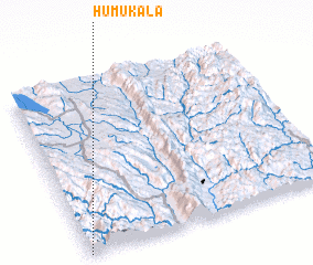 Places with similar names to Humukala, Myanmar ::
// Himakilo (PH)
// Hamkoll (NO)
// Hemagolla (LK)
// Hamakalu (ZM)
// Hemkole (TZ)
// Hemkole (TZ)
// Hemkole (TZ)
// Hamai Kili (PK)
// Humacala (PE)
// Hambak-kol (KP)
Disclaimer :: Information on this page comes without warranty of any kind |
||
|
Where is Humukala? Elevation and coordinates ::
Latitude (lat): 19°0'0"N Longitude (lon): 97°0'0"E
Elevation (approx.): 943m (map arrows pan, magnifying glasses zoom) |
||
|
Visiting Humukala? Hotel/Accommodation ::
Book a hotel in Humukala Travel Guide ::
Buy a travel guide for Myanmar rental cars ::
car rental offers GPS waypoint ::
download a GPX waypoint (PoI) of Humukala for your GPS receiver
|
||