|
search place name
|
||
Kabaunggyaing (Sagaing, Myanmar)Kabaunggyaing is a town in the Sagaing region of Myanmar. An overview map of the region around Kabaunggyaing is displayed below.
regional and 3d topo map of Kabaunggyaing, Myanmar ::

Kabaunggyaing airports ::
The nearest airport is MDL - Mandalay Intl, located 146.1 km south east of Kabaunggyaing.
Other airports nearby include IMF - Imphal (255.7 km north west), Nearby towns ::
Konyo (1.7km west) //
Kywèzwè (3.7km north) //
Chaunggyo (4.1km south east) //
Indaing (3.9km north west) //
Hmangyaing (3.9km north west) //
Ywathaya (5.0km south west) //
Hmanyin (5.0km north west) //
Thonzin (5.1km west) //
Kangyigon (5.1km west) //
Tumaung (5.8km south) //
Ywathit (5.8km north) //
Deyauk (5.4km east) //
Hlethwin (5.4km east) //
Shwedangyi (5.4km east) //
Nga-nugyaung (5.4km west) //
Kanbauk (5.4km west) //
Taze (5.8km north) //
Pontaga (6.3km south east) //
Intaga (6.3km north west) //
Tandawzu (6.5km south west) //
Waya-nge (6.5km north west) //
Ka-nu-ze (6.5km north west) //
Indaw (6.5km south east) //
Thayetkon (6.8km west) //
Ywabugyi (6.8km east) //
Nyaungzigon (7.1km west) //
Nganwezin (7.1km west) //
Sinnge (7.6km north) //
Mondaingbin (7.1km east) //
[all distances 'as the bird flies' and approximate] 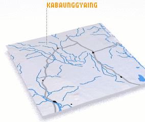 Places with similar names to Kabaunggyaing, Myanmar :: Disclaimer :: Information on this page comes without warranty of any kind |
||
|
Where is Kabaunggyaing? Elevation and coordinates ::
Latitude (lat): 22°54'0"N Longitude (lon): 95°23'0"E
Elevation (approx.): 122m (map arrows pan, magnifying glasses zoom) |
||
|
Visiting Kabaunggyaing? Hotel/Accommodation ::
Book a hotel in Kabaunggyaing Travel Guide ::
Buy a travel guide for Myanmar rental cars ::
car rental offers GPS waypoint ::
download a GPX waypoint (PoI) of Kabaunggyaing for your GPS receiver
|
||