|
search place name
|
||
Kahtankawng (Kachin State, Myanmar)Kahtankawng is a town in the Kachin State region of Myanmar. An overview map of the region around Kahtankawng is displayed below.
regional and 3d topo map of Kahtankawng, Myanmar ::

Kahtankawng airports ::
The nearest airport is MYT - Myitkyina, located 61.5 km north west of Kahtankawng.
Other airports nearby include LSH - Lashio (218.4 km south), Nearby towns ::
Naru (2.5km north west) //
Sumlang (3.8km south west) //
Palap (5.0km north west) //
Ngatong (5.6km south) //
Mali (6.3km north west) //
Kaiya (6.7km west) //
Pajao (7.4km south) //
N'daichet (7.7km north west) //
Pum-gahtawng (8.7km south west) //
[all distances 'as the bird flies' and approximate] 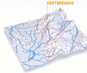 Places with similar names to Kahtankawng, Myanmar ::
// Gudianganga (CD)
// Kaduengang (ID)
// Kedunggong (ID)
// Kotanakang (ID)
// Gatunganga (KE)
// Guidan Guingué (NE)
// Kudonggang (KR)
// Kai-tan-k'eng (TW)
// Qidonggang (CN)
Disclaimer :: Information on this page comes without warranty of any kind |
||
|
Where is Kahtankawng? Elevation and coordinates ::
Latitude (lat): 24°57'0"N Longitude (lon): 97°44'0"E
Elevation (approx.): 1330m (map arrows pan, magnifying glasses zoom) |
||
|
Visiting Kahtankawng? Hotel/Accommodation ::
Book a hotel in Kahtankawng Travel Guide ::
Buy a travel guide for Myanmar rental cars ::
car rental offers GPS waypoint ::
download a GPX waypoint (PoI) of Kahtankawng for your GPS receiver
|
||