|
search place name
|
||
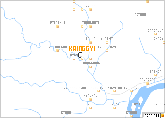
Kainggyi (Myanmar)Kainggyi is a town in Myanmar. An overview map of the region around Kainggyi is displayed below.
regional and 3d topo map of Kainggyi, Myanmar ::
Kainggyi airports ::
The nearest airport is SNW - Thandwe, located 78.9 km south west of Kainggyi.
Other airports nearby include KYP - Kyaukpyu (169.8 km north west), RGN - Yangon Intl (237.6 km south east), HEH - Heho (291.2 km north east), Nearby towns ::
Nyaungbintha (0.0km north) //
Kyizi (1.8km west) //
Talokpin (1.8km east) //
Taunggaing (2.6km south east) //
Zayathla (2.6km north east) //
Tawma (4.1km north east) //
Taungbogyi (5.6km east) //
Peinhnegon (5.6km west) //
Ywathit (6.4km north east) //
Myogyi (7.4km north) //
Nyaung-chi-dauk (7.6km south) //
Thanlegyi (7.6km north) //
Okshitpin (8.2km south east) //
Pyanthwe (9.1km north west) //
Magyiton (10.2km south east) //
[all distances 'as the bird flies' and approximate] 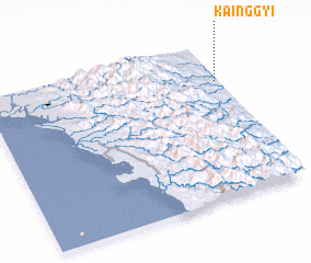 Places with similar names to Kainggyi, Myanmar ::
Disclaimer :: Information on this page comes without warranty of any kind |
||
|
Where is Kainggyi? Elevation and coordinates ::
Latitude (lat): 18°45'0"N Longitude (lon): 94°59'0"E
Elevation (approx.): 35m (map arrows pan, magnifying glasses zoom) |
||
|
Visiting Kainggyi? Hotel/Accommodation ::
Book a hotel in Kainggyi Travel Guide ::
Buy a travel guide for Myanmar rental cars ::
car rental offers GPS waypoint ::
download a GPX waypoint (PoI) of Kainggyi for your GPS receiver
|
||