|
search place name
|
||
Kamamat (Myanmar)Kamamat is a town in Myanmar. An overview map of the region around Kamamat is displayed below.
regional and 3d topo map of Kamamat, Myanmar ::

Kamamat airports ::
The nearest airport is RGN - Yangon Intl, located 37.6 km west of Kamamat.
Nearby towns ::
Kanbyaung (2.7km north) //
Nyaunggon (3.7km north east) //
Kamapadaw (4.1km south east) //
Nyaungbin (4.9km north west) //
Kannyi-naung (5.6km east) //
Maungma (5.8km west) //
E-ywa (6.3km west) //
Kamasein (6.5km south west) //
Zibyugon (6.8km north east) //
Kyudaw (7.0km south west) //
Shwehle (6.8km west) //
Kana (7.4km north) //
Nyaungwaing (7.7km north west) //
Kayingan (7.6km east) //
Hlabalu (7.9km south) //
Zinbugon (8.2km north west) //
Peingan (8.2km south west) //
Shangan (8.2km north west) //
Kabauk (8.2km north east) //
Ponmazo (9.0km north west) //
Kayan (9.8km south east) //
Thayagon (10.3km north east) //
Letpadan (11.4km south east) //
[all distances 'as the bird flies' and approximate] 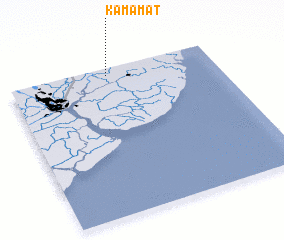 Places with similar names to Kamamat, Myanmar ::
// Cambamtoy (PH)
// Kiemba-Moto (CD)
// Kamamut (KE)
// Kamamudu (GM)
// Kamamot (KR)
// Koumbamadia (ML)
// Qomemiyyut (IL)
// Kumamoto (JP)
// Qomemiyyut (IL)
// Cã Mamadu (GW)
Disclaimer :: Information on this page comes without warranty of any kind |
||
|
Where is Kamamat? Elevation and coordinates ::
Latitude (lat): 16°57'0"N Longitude (lon): 96°29'0"E
Elevation (approx.): 11m (map arrows pan, magnifying glasses zoom) |
||
|
Visiting Kamamat? Hotel/Accommodation ::
Book a hotel in Kamamat Travel Guide ::
Buy a travel guide for Myanmar rental cars ::
car rental offers GPS waypoint ::
download a GPX waypoint (PoI) of Kamamat for your GPS receiver
|
||