|
search place name
|
||
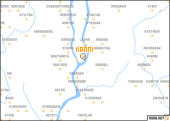
Kanni (Kayin, Myanmar)Kanni is a town in the Kayin region of Myanmar. An overview map of the region around Kanni is displayed below.
regional and 3d topo map of Kanni, Myanmar ::
Kanni airports ::
The nearest airport is RGN - Yangon Intl, located 166.1 km west of Kanni.
Other airports nearby include LPT - Lampang (229.1 km north east), Nearby towns ::
Letpandan (1.8km west) //
Kawsein Ale (3.7km north) //
Lakha (3.7km north) //
Kappali (4.0km south east) //
Thayagon (4.0km south east) //
Shwegun (4.1km south west) //
Wagoktaw (4.0km north east) //
Myaing (4.0km north west) //
Mibon (5.1km south west) //
Nawkaw (5.1km north east) //
Ko-maung (5.1km north west) //
Bawthabyu (5.3km west) //
Nawtara (5.6km west) //
Tagaungbo (5.8km south) //
Gyochaung (7.4km south) //
Kyundaw (7.6km north) //
Webyan (8.2km north west) //
Melan (9.1km south west) //
[all distances 'as the bird flies' and approximate] 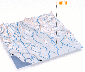 Places with similar names to Kanni, Myanmar ::
Disclaimer :: Information on this page comes without warranty of any kind |
||
|
Where is Kanni? Elevation and coordinates ::
Latitude (lat): 17°11'0"N Longitude (lon): 97°40'0"E
Elevation (approx.): 17m (map arrows pan, magnifying glasses zoom) |
||
|
Visiting Kanni? Hotel/Accommodation ::
Book a hotel in Kanni Travel Guide ::
Buy a travel guide for Myanmar rental cars ::
car rental offers GPS waypoint ::
download a GPX waypoint (PoI) of Kanni for your GPS receiver
|
||