|
search place name
|
||
Kawnghka (Shan, Myanmar)Kawnghka is a town in the Shan region of Myanmar. An overview map of the region around Kawnghka is displayed below.
regional and 3d topo map of Kawnghka, Myanmar ::

Kawnghka airports ::
The nearest airport is LSH - Lashio, located 99.0 km south of Kawnghka.
Other airports nearby include MYT - Myitkyina (180.9 km north), Nearby towns ::
Tao-long (2.5km north east) //
Kyu-püt (3.9km south east) //
Pangkawng (3.9km north west) //
Mān Nam-yu (5.0km north east) //
Mu-tawng (5.8km north) //
Kyumana (5.8km south) //
Sukmawn (5.4km east) //
Mān Hang (5.8km north) //
Kawngwing (5.8km south) //
Panghka (5.4km west) //
Hpak Mān (6.3km south east) //
Tungsang (7.4km north) //
Lingleng (7.4km south) //
Winglom (7.0km east) //
Hoting (7.5km north east) //
Panghkam (7.5km north west) //
Kawngmu (7.7km south west) //
Winghpai (8.8km north east) //
Mān Sang (8.8km south east) //
Mān Sak (8.8km south east) //
Kho-nung (9.0km south west) //
Na-long (10.0km south east) //
Mān Namkat (10.0km north west) //
Linglom (10.0km south west) //
[all distances 'as the bird flies' and approximate] 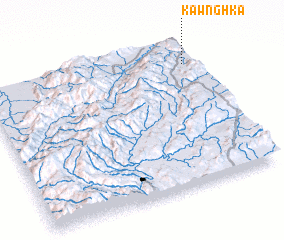 Places with similar names to Kawnghka, Myanmar ::
Disclaimer :: Information on this page comes without warranty of any kind |
||
|
Where is Kawnghka? Elevation and coordinates ::
Latitude (lat): 23°51'0"N Longitude (lon): 97°58'0"E
Elevation (approx.): 849m (map arrows pan, magnifying glasses zoom) |
||
|
Visiting Kawnghka? Hotel/Accommodation ::
Book a hotel in Kawnghka Travel Guide ::
Buy a travel guide for Myanmar rental cars ::
car rental offers GPS waypoint ::
download a GPX waypoint (PoI) of Kawnghka for your GPS receiver
|
||