|
search place name
|
||
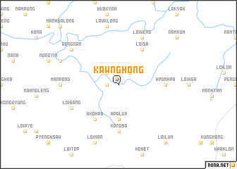
Kawnghong (Shan, Myanmar)Kawnghong is a town in the Shan region of Myanmar. An overview map of the region around Kawnghong is displayed below.
regional and 3d topo map of Kawnghong, Myanmar ::
Kawnghong airports ::
The nearest airport is LSH - Lashio, located 19.6 km south east of Kawnghong.
Other airports nearby include MDL - Mandalay Intl (231.5 km south west), Nearby towns ::
Kongsa (1.7km west) //
Na-ha (2.5km north west) //
Kawngkye (2.5km north east) //
Hpa-lum (5.6km south) //
Hko-hpa (6.5km south west) //
Loi-sa (6.5km north east) //
Kongsa (7.4km south) //
Hpomhpa (6.8km east) //
Loi-weng (8.2km north east) //
Loi-sang (7.8km south west) //
Wengnan (8.8km north west) //
[all distances 'as the bird flies' and approximate] 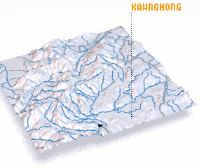 Places with similar names to Kawnghong, Myanmar ::
// Kunghang (KR)
// Kunghang (KR)
// Kunghang (KR)
// Kanifing (GM)
// Con Phang (VN)
// Kon Vong (VN)
// Kouản Fàng (VN)
// Quang Hang (VN)
// Cunfang (CN)
// Ganfang (CN)
Disclaimer :: Information on this page comes without warranty of any kind |
||
|
Where is Kawnghong? Elevation and coordinates ::
Latitude (lat): 23°7'0"N Longitude (lon): 97°38'0"E
Elevation (approx.): 614m (map arrows pan, magnifying glasses zoom) |
||
|
Visiting Kawnghong? Hotel/Accommodation ::
Book a hotel in Kawnghong Travel Guide ::
Buy a travel guide for Myanmar rental cars ::
car rental offers GPS waypoint ::
download a GPX waypoint (PoI) of Kawnghong for your GPS receiver
|
||