|
search place name
|
||
Kinbyit (Sagaing, Myanmar)Kinbyit is a town in the Sagaing region of Myanmar. An overview map of the region around Kinbyit is displayed below.
regional and 3d topo map of Kinbyit, Myanmar ::

Kinbyit airports ::
The nearest airport is MDL - Mandalay Intl, located 130.5 km south of Kinbyit.
Other airports nearby include IMF - Imphal (272.7 km north west), Nearby towns ::
Thayetkon (1.9km north) //
Kalon (1.9km north) //
Shinmindwe (1.9km north) //
Pyindaung (1.9km south) //
Shwegu (1.9km south) //
Indainggyi (2.5km south east) //
Ba-o (3.4km east) //
Ngayongyi (4.1km north east) //
Shadaw (4.1km north east) //
Gwegon (4.1km south east) //
Thawatti (3.9km north west) //
Myingya (3.9km south west) //
Myittaw (5.0km south east) //
Monhla (5.0km north west) //
Yindaik (5.6km north) //
Thagaya (5.8km south) //
Baukthindon (5.4km east) //
Leywa (5.4km west) //
Kanthit (6.3km south east) //
Myindaung (6.3km south west) //
Pinzeingin (6.5km north west) //
Ngapyaw (6.8km east) //
Shweyamin (7.4km south) //
Myothit (7.4km south) //
Aungchantha (7.4km north) //
Siboktaya (7.1km east) //
Pegon (7.1km east) //
Kandaya (7.1km east) //
Yadaw (7.1km west) //
[all distances 'as the bird flies' and approximate] 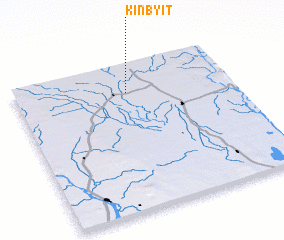 Places with similar names to Kinbyit, Myanmar :: Disclaimer :: Information on this page comes without warranty of any kind |
||
|
Where is Kinbyit? Elevation and coordinates ::
Latitude (lat): 22°48'0"N Longitude (lon): 95°31'0"E
Elevation (approx.): 107m (map arrows pan, magnifying glasses zoom) |
||
|
Visiting Kinbyit? Hotel/Accommodation ::
Book a hotel in Kinbyit Travel Guide ::
Buy a travel guide for Myanmar rental cars ::
car rental offers GPS waypoint ::
download a GPX waypoint (PoI) of Kinbyit for your GPS receiver
|
||