|
search place name
|
||
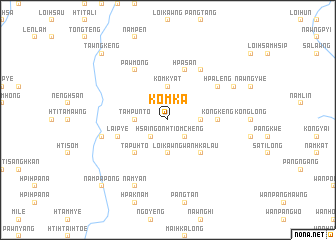
Komka (Shan, Myanmar)Komka is a town in the Shan region of Myanmar. An overview map of the region around Komka is displayed below.
regional and 3d topo map of Komka, Myanmar ::
Komka airports ::
The nearest airport is HEH - Heho, located 90.3 km north west of Komka.
Other airports nearby include MOG - Mong Hsat (183.2 km east), MDL - Mandalay Intl (222.9 km north west), Nearby towns ::
Htiomcheng (2.5km south east) //
Hsaingon (2.5km south west) //
Wān Kāng (3.5km east) //
Ho-nam (3.5km east) //
Komkyat (3.7km north) //
Loikawng (3.7km south) //
Pu-ya-sang (3.5km west) //
Tahpunto (3.5km west) //
Wān Hka-lau (5.1km south east) //
Nawngmo (5.1km south east) //
Kawngmuput (5.1km south east) //
Tapuhto (5.1km south west) //
Kongkeng (5.2km east) //
Hpa-san (5.8km north) //
Laipye (5.5km west) //
Hpa-leng (6.4km north east) //
Maklam (6.6km north east) //
Pawmong (6.6km north west) //
Htolawng (7.2km west) //
Pekheng (7.9km north east) //
Wān Māk (7.9km north east) //
Nam-yan (8.2km south west) //
Tawngkeng (10.2km north west) //
Nampa-pong (10.2km south west) //
[all distances 'as the bird flies' and approximate] 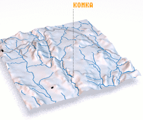 Places with similar names to Komka, Myanmar ::
Disclaimer :: Information on this page comes without warranty of any kind |
||
|
Where is Komka? Elevation and coordinates ::
Latitude (lat): 20°18'0"N Longitude (lon): 97°31'0"E
Elevation (approx.): 1157m (map arrows pan, magnifying glasses zoom) |
||
|
Visiting Komka? Hotel/Accommodation ::
Book a hotel in Komka Travel Guide ::
Buy a travel guide for Myanmar rental cars ::
car rental offers GPS waypoint ::
download a GPX waypoint (PoI) of Komka for your GPS receiver
|
||