|
search place name
|
||
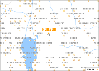
Konzon (Shan, Myanmar)Konzon is a town in the Shan region of Myanmar. An overview map of the region around Konzon is displayed below.
regional and 3d topo map of Konzon, Myanmar ::
Konzon airports ::
The nearest airport is HEH - Heho, located 24.6 km north west of Konzon.
Other airports nearby include MDL - Mandalay Intl (159.2 km north west), Nearby towns ::
Loi-hkaw-ingyaung (1.9km south) //
Loi-hkaw (1.9km south) //
Wadaw (3.5km west) //
Bonde (3.7km south) //
Möng Hsawk (5.1km south west) //
Kyawktan (5.1km north east) //
Chu-eng (5.2km east) //
Thapanbin (5.2km west) //
Na-nwe (5.6km north) //
Lonwa (5.5km east) //
Shwelabok (5.5km west) //
Myaungyogyi (5.5km west) //
Namnoi (5.8km north) //
Ondabin (6.4km north west) //
Yawnghwe (6.4km north west) //
Sizon (6.4km north west) //
Pebingon (6.6km south west) //
Thabyegyaung (6.6km north west) //
Sebyu (6.6km north west) //
Se-hkai (6.4km south east) //
Thazi (7.2km west) //
Wān Engpu (7.6km north) //
In-u (7.2km west) //
Kyawk Teng (7.2km east) //
Pebin-inywa (7.6km south west) //
Wunbe-in (7.9km north west) //
Nanthe (7.9km north west) //
Shweyanbye (9.1km north west) //
Pannwe (9.1km south west) //
[all distances 'as the bird flies' and approximate] 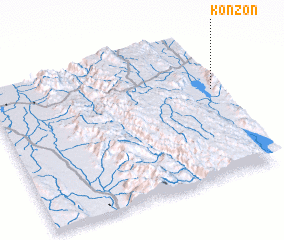 Places with similar names to Konzon, Myanmar ::
Disclaimer :: Information on this page comes without warranty of any kind |
||
|
Where is Konzon? Elevation and coordinates ::
Latitude (lat): 20°37'0"N Longitude (lon): 96°59'0"E
Elevation (approx.): 1361m (map arrows pan, magnifying glasses zoom) |
||
|
Visiting Konzon? Hotel/Accommodation ::
Book a hotel in Konzon Travel Guide ::
Buy a travel guide for Myanmar rental cars ::
car rental offers GPS waypoint ::
download a GPX waypoint (PoI) of Konzon for your GPS receiver
|
||