|
search place name
|
||
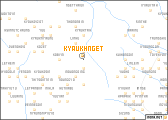
Kyaukhnget (Shan, Myanmar)Kyaukhnget is a town in the Shan region of Myanmar. An overview map of the region around Kyaukhnget is displayed below.
regional and 3d topo map of Kyaukhnget, Myanmar ::
Kyaukhnget airports ::
The nearest airport is HEH - Heho, located 53.7 km south east of Kyaukhnget.
Other airports nearby include MDL - Mandalay Intl (83.8 km north west), LSH - Lashio (233.4 km north east), Nearby towns ::
Satthe (1.9km south) //
Hsin (1.9km north) //
Padongaing (4.1km south west) //
Nan-on (4.1km north west) //
Linwe (4.1km north west) //
Oktwin (5.2km west) //
Ka-byin (5.2km west) //
Padongaing (5.6km south) //
Kyauktaw (5.6km north) //
Minbaung (6.4km south west) //
Taunggya (6.5km south west) //
Pe-gin (7.6km north) //
Thapanbin (7.6km north) //
Yandwin (7.8km south east) //
Wetkabu (8.2km south west) //
Pawzaw (8.2km south west) //
Ngwedaung (9.0km north west) //
Myauk Theingon (8.9km north west) //
Theingon (8.9km north west) //
Inhlaywathit (10.1km south west) //
Inhla (10.1km south west) //
Kyaukkudi (10.1km north west) //
[all distances 'as the bird flies' and approximate] 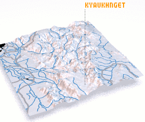 Places with similar names to Kyaukhnget, Myanmar ::
// Kyaukhnget (MM)
Disclaimer :: Information on this page comes without warranty of any kind |
||
|
Where is Kyaukhnget? Elevation and coordinates ::
Latitude (lat): 21°11'0"N Longitude (lon): 96°34'0"E
Elevation (approx.): 1452m (map arrows pan, magnifying glasses zoom) |
||
|
Visiting Kyaukhnget? Hotel/Accommodation ::
Book a hotel in Kyaukhnget Travel Guide ::
Buy a travel guide for Myanmar rental cars ::
car rental offers GPS waypoint ::
download a GPX waypoint (PoI) of Kyaukhnget for your GPS receiver
|
||