|
search place name
|
||
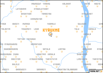
Kyaukmè (Myanmar)Kyaukmè is a town in Myanmar. An overview map of the region around Kyaukmè is displayed below.
regional and 3d topo map of Kyaukmè, Myanmar ::
Kyaukmè airports ::
The nearest airport is SNW - Thandwe, located 146.6 km south west of Kyaukmè.
Other airports nearby include KYP - Kyaukpyu (161.6 km west), HEH - Heho (222.7 km north east), Nearby towns ::
Konniywa (1.7km east) //
Ywapalè (3.7km north) //
Lewa (5.6km west) //
Sathla (5.8km south) //
Lontaw (6.6km south east) //
Monnatkon (6.4km south west) //
Monchaung (6.6km south west) //
Kanhla (7.4km south) //
Tamagyaw (7.6km north) //
Tazigauk (7.2km west) //
Kinmungyon (7.6km north west) //
Kadetpin (8.2km south west) //
Inle (9.1km south west) //
[all distances 'as the bird flies' and approximate] 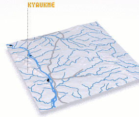 Places with similar names to Kyaukmè, Myanmar ::
// Cayo Guam (CU)
// Gaya Gambi (TD)
// Kyaikkamaw (MM)
// Kyaikkami (MM)
// Kyaikme (MM)
// Kyaukhmaw (MM)
// Kyaukhmaw (MM)
// Kyaukmaw (MM)
// Kyaukmaw (MM)
// Kyaukmaw (MM)
Disclaimer :: Information on this page comes without warranty of any kind |
||
|
Where is Kyaukmè? Elevation and coordinates ::
Latitude (lat): 19°34'0"N Longitude (lon): 95°4'0"E
Elevation (approx.): 143m (map arrows pan, magnifying glasses zoom) |
||
|
Visiting Kyaukmè? Hotel/Accommodation ::
Book a hotel in Kyaukmè Travel Guide ::
Buy a travel guide for Myanmar rental cars ::
car rental offers GPS waypoint ::
download a GPX waypoint (PoI) of Kyaukmè for your GPS receiver
|
||