|
search place name
|
||
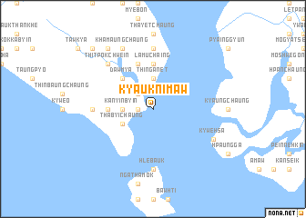
Kyauknimaw (Rakhine, Myanmar)Kyauknimaw is a town in the Rakhine region of Myanmar. An overview map of the region around Kyauknimaw is displayed below.
regional and 3d topo map of Kyauknimaw, Myanmar ::
Kyauknimaw airports ::
The nearest airport is SNW - Thandwe, located 60.0 km south east of Kyauknimaw.
Other airports nearby include KYP - Kyaukpyu (73.9 km north west), AKY - Sittwe (178.3 km north west), Nearby towns ::
Kyaukhtayan (1.8km west) //
Htaungchein (2.6km north west) //
Hônywa (2.6km north west) //
Thin-ganet (3.7km north) //
Kanyinbyin (3.5km west) //
Thabyichaung (4.0km south west) //
Dawmya (5.1km north west) //
Lamuchaing (5.6km north) //
Awa (5.3km west) //
Chaungpya (5.3km west) //
Myochaung (5.8km north) //
Hlebauk (7.4km south) //
Tetkaw (7.0km west) //
Gyinchaung (7.4km north) //
Thitpôkchwein (7.7km north west) //
Kywehsa (7.9km south east) //
Khamaungchaung (8.2km north west) //
Wabyaing (9.1km north west) //
Thinbanchaing (10.2km north west) //
[all distances 'as the bird flies' and approximate] 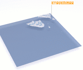 Places with similar names to Kyauknimaw, Myanmar :: Disclaimer :: Information on this page comes without warranty of any kind |
||
|
Where is Kyauknimaw? Elevation and coordinates ::
Latitude (lat): 18°54'0"N Longitude (lon): 93°58'0"E
Elevation (approx.): -32768m (map arrows pan, magnifying glasses zoom) |
||
|
Visiting Kyauknimaw? Hotel/Accommodation ::
Book a hotel in Kyauknimaw Travel Guide ::
Buy a travel guide for Myanmar rental cars ::
car rental offers GPS waypoint ::
download a GPX waypoint (PoI) of Kyauknimaw for your GPS receiver
|
||