|
search place name
|
||
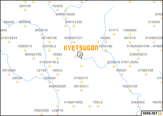
Kyetsugon (Myanmar)Kyetsugon is a town in Myanmar. An overview map of the region around Kyetsugon is displayed below.
regional and 3d topo map of Kyetsugon, Myanmar ::
Kyetsugon airports ::
The nearest airport is KYP - Kyaukpyu, located 127.0 km west of Kyetsugon.
Other airports nearby include SNW - Thandwe (132.4 km south), AKY - Sittwe (204.2 km west), Nearby towns ::
Kade (1.9km south) //
Yegyaw (2.5km north west) //
Shandatgyi (4.1km north west) //
Payagyin (4.1km north west) //
Meozan (5.1km north east) //
Yebok (5.2km west) //
Kyauktit (5.6km south) //
Kangyaw (5.6km east) //
Kanle (6.4km south west) //
Pedaw (6.4km north east) //
Hmyongyi (7.4km south) //
Kyaukpyale (7.2km west) //
Kokkalu (7.2km west) //
Thayetkon (7.6km north) //
Giyogyo (7.2km east) //
Wetmathe (7.9km north west) //
Sanle (7.9km north west) //
Kaingngegyi (8.2km north west) //
Ngapongon (9.1km south west) //
Taingda (8.9km south west) //
Kyitti (8.9km north east) //
[all distances 'as the bird flies' and approximate] 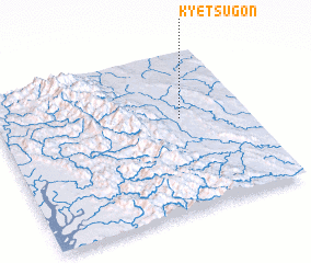
Disclaimer :: Information on this page comes without warranty of any kind |
||
|
Where is Kyetsugon? Elevation and coordinates ::
Latitude (lat): 19°35'0"N Longitude (lon): 94°44'0"E
Elevation (approx.): 176m (map arrows pan, magnifying glasses zoom) |
||
|
Visiting Kyetsugon? Hotel/Accommodation ::
Book a hotel in Kyetsugon Travel Guide ::
Buy a travel guide for Myanmar rental cars ::
car rental offers GPS waypoint ::
download a GPX waypoint (PoI) of Kyetsugon for your GPS receiver
|
||