|
search place name
|
||
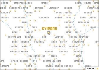
Kyi-pong (Shan, Myanmar)Kyi-pong is a town in the Shan region of Myanmar. An overview map of the region around Kyi-pong is displayed below.
regional and 3d topo map of Kyi-pong, Myanmar ::
Kyi-pong airports ::
The nearest airport is HEH - Heho, located 74.7 km south west of Kyi-pong.
Other airports nearby include MDL - Mandalay Intl (167.3 km north west), MOG - Mong Hsat (198.8 km east), LSH - Lashio (216.0 km north), Nearby towns ::
Kong Hsong (1.7km west) //
Ho Nam (1.9km north) //
Kawng Hka (1.7km east) //
Kyio-mun (2.5km south west) //
Ha Mi (2.5km south west) //
Kio-ning (2.5km south east) //
Naw Pan Ping (2.5km south east) //
Nawng Tawng (3.7km south) //
Nā-chi Wam Tau (3.9km north west) //
Nā-chi-loi (3.9km north west) //
Wān Loi-mot (3.9km south west) //
Hwè Ha (4.1km south east) //
Wān Loi-sawn (4.1km south east) //
Long-yok (3.9km south east) //
Hwe-kawng (5.1km south west) //
Pangtangnok (5.1km north east) //
Ka-hpi (5.1km south east) //
Hsi Nin (5.8km north) //
Pang Nim (5.8km north) //
Kong Hsot (5.8km north) //
Nā Wa (5.5km west) //
Konghsa (5.5km east) //
Wān Hwè (5.5km west) //
Wān Hwè-möng (6.4km south east) //
Loi-tap (6.4km south east) //
Loi-hkaw (6.5km south east) //
Longtikawng (6.5km south east) //
Hpa-hsö (6.5km north east) //
Kongkang (6.5km south east) //
[all distances 'as the bird flies' and approximate] 
Disclaimer :: Information on this page comes without warranty of any kind |
||
|
Where is Kyi-pong? Elevation and coordinates ::
Latitude (lat): 21°3'0"N Longitude (lon): 97°26'0"E
Elevation (approx.): 1865m (map arrows pan, magnifying glasses zoom) |
||
|
Visiting Kyi-pong? Hotel/Accommodation ::
Book a hotel in Kyi-pong Travel Guide ::
Buy a travel guide for Myanmar rental cars ::
car rental offers GPS waypoint ::
download a GPX waypoint (PoI) of Kyi-pong for your GPS receiver
|
||