|
search place name
|
||
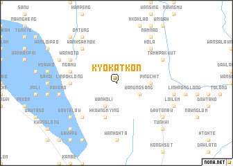
Kyo-kat-kon (Shan, Myanmar)Kyo-kat-kon is a town in the Shan region of Myanmar. An overview map of the region around Kyo-kat-kon is displayed below.
regional and 3d topo map of Kyo-kat-kon, Myanmar ::
Kyo-kat-kon airports ::
The nearest airport is HEH - Heho, located 101.0 km north of Kyo-kat-kon.
Other airports nearby include MDL - Mandalay Intl (233.9 km north west), Nearby towns ::
Wān Ung-sang (3.9km south east) //
Wān Ho-li (4.1km south west) //
Ping Chit (5.2km east) //
Hkawng Mying (5.8km south) //
Linpöklong (7.0km west) //
Nga-mu (7.2km west) //
Nyawngmun (7.2km west) //
Pang Lao (7.6km north east) //
Ho-la (7.6km north east) //
Hpya-hte (7.6km south west) //
Lai-ya (7.6km south west) //
Wān Hsam-mok (7.6km north west) //
Wān Ho-to (7.9km north west) //
Tamhpak-kut (7.9km north east) //
Ho-hko-sao-hpa (8.9km south east) //
Dawtè-law (8.9km south west) //
Dawta-naw (8.9km south east) //
Namnao (9.1km north east) //
Om Tung (9.1km north west) //
Tun Kwi (10.2km south east) //
Nawngleng (10.2km south west) //
Na-hi (10.2km north west) //
Wān Hku (10.2km north west) //
[all distances 'as the bird flies' and approximate] 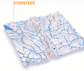 Places with similar names to Kyo-kat-kon, Myanmar ::
// Kyahkatkon (MM)
// Kyahkatkon (MM)
Disclaimer :: Information on this page comes without warranty of any kind |
||
|
Where is Kyo-kat-kon? Elevation and coordinates ::
Latitude (lat): 19°54'0"N Longitude (lon): 97°9'0"E
Elevation (approx.): 1034m (map arrows pan, magnifying glasses zoom) |
||
|
Visiting Kyo-kat-kon? Hotel/Accommodation ::
Book a hotel in Kyo-kat-kon Travel Guide ::
Buy a travel guide for Myanmar rental cars ::
car rental offers GPS waypoint ::
download a GPX waypoint (PoI) of Kyo-kat-kon for your GPS receiver
|
||