|
search place name
|
||
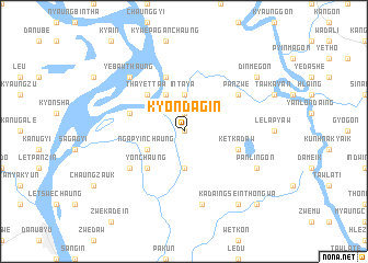
Kyondagin (Myanmar)Kyondagin is a town in Myanmar. An overview map of the region around Kyondagin is displayed below.
regional and 3d topo map of Kyondagin, Myanmar ::
Kyondagin airports ::
The nearest airport is RGN - Yangon Intl, located 66.1 km south east of Kyondagin.
Other airports nearby include SNW - Thandwe (194.0 km north west), Nearby towns ::
Hlegangu (NaNkm north) //
Chaungthongwa (1.9km north) //
Intaya (3.7km north) //
Yegangon (3.7km south) //
Apyauk (4.1km north west) //
Ngapyinchaung (4.0km south west) //
Thayettaw (5.1km north west) //
Yonchaung (5.1km south west) //
Methaung (5.8km north) //
Ketkadaw (5.6km east) //
Padonpeik (5.6km west) //
Panzwe (6.5km north east) //
Mayingon (6.5km south west) //
Hmeinpale (7.6km south) //
Yebawthaung (7.7km north west) //
Panlingon (8.0km south east) //
Dinmegon (9.0km north east) //
Kadaingsein Thongwa (9.1km south east) //
Kadaingsein (10.2km south east) //
[all distances 'as the bird flies' and approximate] 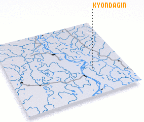 Places with similar names to Kyondagin, Myanmar :: Disclaimer :: Information on this page comes without warranty of any kind |
||
|
Where is Kyondagin? Elevation and coordinates ::
Latitude (lat): 17°21'0"N Longitude (lon): 95°43'0"E
Elevation (approx.): 10m (map arrows pan, magnifying glasses zoom) |
||
|
Visiting Kyondagin? Hotel/Accommodation ::
Book a hotel in Kyondagin Travel Guide ::
Buy a travel guide for Myanmar rental cars ::
car rental offers GPS waypoint ::
download a GPX waypoint (PoI) of Kyondagin for your GPS receiver
|
||