|
search place name
|
||
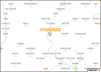
Kyundaing (Myanmar)Kyundaing is a town in Myanmar. An overview map of the region around Kyundaing is displayed below.
regional and 3d topo map of Kyundaing, Myanmar ::
Kyundaing airports ::
The nearest airport is MDL - Mandalay Intl, located 160.8 km east of Kyundaing.
Other airports nearby include AKY - Sittwe (225.8 km south west), Nearby towns ::
Nyaungbintha (1.7km west) //
Chaung-u (1.9km south) //
Sathein (2.5km north east) //
Yityaung (3.7km north) //
Wekpôk (5.2km east) //
Myinkyan (5.8km north) //
Shwebontha (5.8km south) //
Dattaw (6.4km north east) //
Leindon (7.6km south) //
Zibya (7.6km north) //
Thayettaw (7.6km south) //
Tyogain (7.6km north) //
Chaunggwa (7.6km south east) //
Lebinaing (8.9km south west) //
Padawgyi (10.1km south west) //
[all distances 'as the bird flies' and approximate] 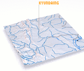 Places with similar names to Kyundaing, Myanmar ::
// Kyentenga (BF)
// Kayainding (GM)
// Kahyŏn-dong (KP)
// Kuhyŏn-dong (KP)
// Kahyŏn-dong (KR)
// Koeyŏn-dong (KR)
// Kuhyŏn-dong (KP)
// Kahyŏn-dong (KP)
// Quyên Dông (VN)
// Kayin-ta-aing (MM)
Disclaimer :: Information on this page comes without warranty of any kind |
||
|
Where is Kyundaing? Elevation and coordinates ::
Latitude (lat): 21°33'0"N Longitude (lon): 94°26'0"E
Elevation (approx.): 206m (map arrows pan, magnifying glasses zoom) |
||
|
Visiting Kyundaing? Hotel/Accommodation ::
Book a hotel in Kyundaing Travel Guide ::
Buy a travel guide for Myanmar rental cars ::
car rental offers GPS waypoint ::
download a GPX waypoint (PoI) of Kyundaing for your GPS receiver
|
||