|
search place name
|
||
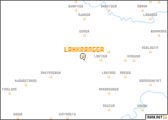
Lahkrang Ga (Kachin State, Myanmar)Lahkrang Ga is a town in the Kachin State region of Myanmar. An overview map of the region around Lahkrang Ga is displayed below.
regional and 3d topo map of Lahkrang Ga, Myanmar ::
Lahkrang Ga airports ::
The nearest airport is PBU - Putao, located 59.4 km north of Lahkrang Ga.
Other airports nearby include MYT - Myitkyina (157.8 km south), Nearby towns ::
Lapyi Ga (3.3km east) //
Gum Ga (5.6km north) //
Mangai (5.3km east) //
Lawyang (6.2km south east) //
Nhkyengbum (7.6km south west) //
'Nhkang Waga (8.9km south east) //
[all distances 'as the bird flies' and approximate] 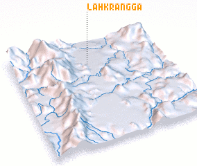 Places with similar names to Lahkrang Ga, Myanmar ::
// La Garnica (PA)
// Lugarnica (BA)
// Lekurung (ZA)
// Lagairong (IN)
// La Gringa (MX)
// Licurnique (PE)
// Lahkrang Ga (MM)
Disclaimer :: Information on this page comes without warranty of any kind |
||
|
Where is Lahkrang Ga? Elevation and coordinates ::
Latitude (lat): 26°48'0"N Longitude (lon): 97°31'0"E
Elevation (approx.): 617m (map arrows pan, magnifying glasses zoom) |
||
|
Visiting Lahkrang Ga? Hotel/Accommodation ::
Book a hotel in Lahkrang Ga Travel Guide ::
Buy a travel guide for Myanmar rental cars ::
car rental offers GPS waypoint ::
download a GPX waypoint (PoI) of Lahkrang Ga for your GPS receiver
|
||