|
search place name
|
||
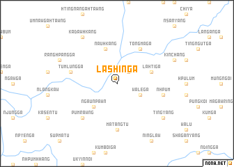
Lashin Ga (Kachin State, Myanmar)Lashin Ga is a town in the Kachin State region of Myanmar. An overview map of the region around Lashin Ga is displayed below.
regional and 3d topo map of Lashin Ga, Myanmar ::
Lashin Ga airports ::
The nearest airport is PBU - Putao, located 105.7 km north west of Lashin Ga.
Other airports nearby include MYT - Myitkyina (137.4 km south west), Nearby towns ::
Sharehkang (2.5km north east) //
Wāle Ga (3.8km south east) //
'Ngau 'Npawn (5.0km south west) //
Lahti Ga (5.3km east) //
Nauhkang (5.8km north) //
Tongma Ga (6.5km north east) //
Matangtu (7.4km south) //
Tumlung Ga (6.9km west) //
'Nhpum (6.9km east) //
Pumrawng (7.5km south west) //
Kadawhkang (8.9km north west) //
Tingyang (8.7km south east) //
[all distances 'as the bird flies' and approximate] 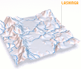 Places with similar names to Lashin Ga, Myanmar ::
Disclaimer :: Information on this page comes without warranty of any kind |
||
|
Where is Lashin Ga? Elevation and coordinates ::
Latitude (lat): 26°30'0"N Longitude (lon): 97°57'0"E
Elevation (approx.): 779m (map arrows pan, magnifying glasses zoom) |
||
|
Visiting Lashin Ga? Hotel/Accommodation ::
Book a hotel in Lashin Ga Travel Guide ::
Buy a travel guide for Myanmar rental cars ::
car rental offers GPS waypoint ::
download a GPX waypoint (PoI) of Lashin Ga for your GPS receiver
|
||