|
search place name
|
||
Laungkadu (Chin, Myanmar)Laungkadu is a town in the Chin region of Myanmar. An overview map of the region around Laungkadu is displayed below.
regional and 3d topo map of Laungkadu, Myanmar ::

Laungkadu airports ::
The nearest airport is CXB - Cox's Bazar Coxs Bazar, located 95.9 km west of Laungkadu.
Other airports nearby include AKY - Sittwe (125.5 km south), CGP - Chittagong Shah Amanat Intl (154.0 km north west), KYP - Kyaukpyu (215.3 km south), Nearby towns ::
Limpu (0.0km north) //
Seinzan (3.9km north east) //
Paletwa (4.1km north west) //
Leingdaung (3.9km north west) //
Taing Wei (5.1km north west) //
Mwendaung (5.8km south) //
Khawei (7.2km west) //
Kwenbo (8.2km north west) //
Lahaw (9.0km north east) //
Ridaung (9.0km south west) //
[all distances 'as the bird flies' and approximate] 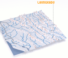 Places with similar names to Laungkadu, Myanmar ::
// Laingkat (US)
// Langquaid (DE)
// Lingkudau (MY)
// Lungkat (MY)
// Langkadi (ID)
// Langkuta (ID)
// Lingogoto (SN)
// Languékoto (ML)
// Linguékoto (ML)
// Linguékoto (ML)
Disclaimer :: Information on this page comes without warranty of any kind |
||
|
Where is Laungkadu? Elevation and coordinates ::
Latitude (lat): 21°16'0"N Longitude (lon): 92°52'0"E
Elevation (approx.): 162m (map arrows pan, magnifying glasses zoom) |
||
|
Visiting Laungkadu? Hotel/Accommodation ::
Book a hotel in Laungkadu Travel Guide ::
Buy a travel guide for Myanmar rental cars ::
car rental offers GPS waypoint ::
download a GPX waypoint (PoI) of Laungkadu for your GPS receiver
|
||