|
search place name
|
||
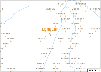
Longlam (Kachin State, Myanmar)Longlam is a town in the Kachin State region of Myanmar. An overview map of the region around Longlam is displayed below.
regional and 3d topo map of Longlam, Myanmar ::
Longlam airports ::
The nearest airport is MYT - Myitkyina, located 127.8 km south west of Longlam.
Other airports nearby include PBU - Putao (147.2 km north west), Nearby towns ::
Wapyaw (1.7km west) //
Hpongsauk (1.9km north) //
Kōmo (2.5km north west) //
Lawngyaw (3.8km south west) //
Lalong (4.1km north east) //
Wahao (3.8km south east) //
Jampaw (5.6km south) //
Laukshwe (5.3km east) //
Lamchyu (7.6km south) //
Lahkam (6.9km east) //
Rgangkum (7.5km north east) //
Lakyawn (8.1km north east) //
Hkabap (7.6km south east) //
Shangkyok (8.9km north east) //
Vulao (8.7km south east) //
Tsawlaw (8.9km south east) //
[all distances 'as the bird flies' and approximate] 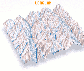 Places with similar names to Longlam, Myanmar ::
Disclaimer :: Information on this page comes without warranty of any kind |
||
|
Where is Longlam? Elevation and coordinates ::
Latitude (lat): 26°13'0"N Longitude (lon): 98°14'0"E
Elevation (approx.): 1153m (map arrows pan, magnifying glasses zoom) |
||
|
Visiting Longlam? Hotel/Accommodation ::
Book a hotel in Longlam Travel Guide ::
Buy a travel guide for Myanmar rental cars ::
car rental offers GPS waypoint ::
download a GPX waypoint (PoI) of Longlam for your GPS receiver
|
||