|
search place name
|
||
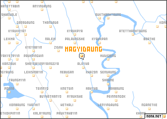
Magyidaung (Rakhine, Myanmar)Magyidaung is a town in the Rakhine region of Myanmar. An overview map of the region around Magyidaung is displayed below.
regional and 3d topo map of Magyidaung, Myanmar ::
Magyidaung airports ::
The nearest airport is AKY - Sittwe, located 78.1 km south west of Magyidaung.
Other airports nearby include CXB - Cox's Bazar Coxs Bazar (149.2 km north west), KYP - Kyaukpyu (152.4 km south), CGP - Chittagong Shah Amanat Intl (218.2 km north west), Nearby towns ::
Aleywa (1.9km south) //
Palaungshe (4.1km north west) //
Kwazon (4.1km south east) //
Kyaukpan (5.1km north east) //
Nebugan (5.1km south west) //
Mudigaing (5.2km east) //
Zidaw (5.5km west) //
Kyaukpya (5.8km north) //
Sendaung (6.4km south east) //
Pyainggya (7.2km west) //
Mawywa (7.6km south) //
Shawme (7.6km south east) //
Naleik (7.9km north west) //
Kretsin (8.2km south west) //
Thandada (10.1km north west) //
Pambaung (10.2km south east) //
[all distances 'as the bird flies' and approximate] 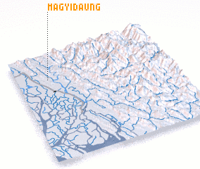 Places with similar names to Magyidaung, Myanmar ::
Disclaimer :: Information on this page comes without warranty of any kind |
||
|
Where is Magyidaung? Elevation and coordinates ::
Latitude (lat): 20°46'0"N Longitude (lon): 93°12'0"E
Elevation (approx.): 45m (map arrows pan, magnifying glasses zoom) |
||
|
Visiting Magyidaung? Hotel/Accommodation ::
Book a hotel in Magyidaung Travel Guide ::
Buy a travel guide for Myanmar rental cars ::
car rental offers GPS waypoint ::
download a GPX waypoint (PoI) of Magyidaung for your GPS receiver
|
||