|
search place name
|
||
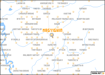
Magyigwin (Myanmar)Magyigwin is a town in Myanmar. An overview map of the region around Magyigwin is displayed below.
regional and 3d topo map of Magyigwin, Myanmar ::
Magyigwin airports ::
The nearest airport is RGN - Yangon Intl, located 111.4 km south of Magyigwin.
Other airports nearby include SNW - Thandwe (169.3 km north west), Nearby towns ::
Yehlyan (0.0km north) //
Tanbingyaung (1.8km east) //
Tarzu (1.9km south) //
Kyilu (2.6km north west) //
Wethlagyi (2.6km north west) //
Kungyan (3.7km south) //
Kanyintagaing Ashe (3.5km west) //
Sigwa (4.1km north east) //
Kaingdawzu (4.1km south east) //
Sidon (4.0km north east) //
Sidon Anauk (4.0km north east) //
Wethlagale (4.0km south west) //
Kanyintagaing Taung (4.0km south west) //
Thityaungbyin (5.1km south east) //
Kanyintagaing Alè (5.3km west) //
Ye-ngan (5.3km east) //
Kyeni (5.6km south) //
Nyaungbintha (5.8km north) //
Thayetkon (5.6km west) //
Sidon Ashe (5.6km east) //
Kanyintagaing Anawk (5.6km west) //
Thayetchaung Anauk (5.6km east) //
Tagundaing (5.6km west) //
Palegwin Taungzugyi (6.6km north east) //
Myeze (6.6km south east) //
Yindaik (6.5km south west) //
Shazibo (7.1km west) //
Ladagwin Taung (7.1km west) //
Ladagwin Ashe (7.1km west) //
[all distances 'as the bird flies' and approximate] 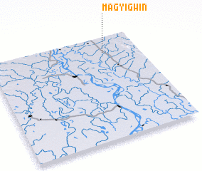 Places with similar names to Magyigwin, Myanmar ::
Disclaimer :: Information on this page comes without warranty of any kind |
||
|
Where is Magyigwin? Elevation and coordinates ::
Latitude (lat): 17°51'0"N Longitude (lon): 95°46'0"E
Elevation (approx.): 25m (map arrows pan, magnifying glasses zoom) |
||
|
Visiting Magyigwin? Hotel/Accommodation ::
Book a hotel in Magyigwin Travel Guide ::
Buy a travel guide for Myanmar rental cars ::
car rental offers GPS waypoint ::
download a GPX waypoint (PoI) of Magyigwin for your GPS receiver
|
||