|
search place name
|
||
Makawtaung (Kachin State, Myanmar)Makawtaung is a town in the Kachin State region of Myanmar. An overview map of the region around Makawtaung is displayed below.
regional and 3d topo map of Makawtaung, Myanmar ::

Makawtaung airports ::
The nearest airport is MYT - Myitkyina, located 18.6 km north west of Makawtaung.
Nearby towns ::
Ningsunyang (1.7km east) //
Namkalan (3.7km south) //
Papao (5.0km north west) //
Lungjun (5.8km north) //
Hoton (5.8km north) //
Nawngmun (6.5km north east) //
Mata (8.1km south east) //
Meungtung (7.7km south east) //
Thagaya (8.7km north west) //
Waingmaw (10.0km north west) //
[all distances 'as the bird flies' and approximate] 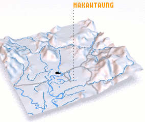 Places with similar names to Makawtaung, Myanmar ::
// Mauktaung (MM)
// Mawk-tawng (MM)
// Mi Gahtawng (MM)
// Mu-gahtawng (MM)
// Mugahtawng (MM)
// Mactang (PH)
// Mactang (PH)
// Magading (PH)
// Magduñgao (PH)
// Magtang (PH)
Disclaimer :: Information on this page comes without warranty of any kind |
||
|
Where is Makawtaung? Elevation and coordinates ::
Latitude (lat): 25°17'0"N Longitude (lon): 97°30'0"E
Elevation (approx.): 151m (map arrows pan, magnifying glasses zoom) |
||
|
Visiting Makawtaung? Hotel/Accommodation ::
Book a hotel in Makawtaung Travel Guide ::
Buy a travel guide for Myanmar rental cars ::
car rental offers GPS waypoint ::
download a GPX waypoint (PoI) of Makawtaung for your GPS receiver
|
||