|
search place name
|
||
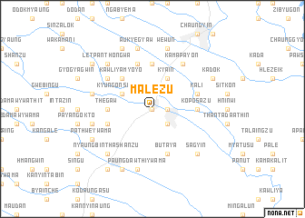
Ma-lezu (Myanmar)Ma-lezu is a town in Myanmar. An overview map of the region around Ma-lezu is displayed below.
regional and 3d topo map of Ma-lezu, Myanmar ::
Ma-lezu airports ::
The nearest airport is RGN - Yangon Intl, located 112.3 km south west of Ma-lezu.
Nearby towns ::
Daik-u (0.0km north) //
Dabeinzu (1.8km east) //
Pa-aungwè (2.6km south east) //
Kya-in (4.1km north east) //
Sinsakan (4.1km north east) //
Kyungon Shanzu (4.0km north west) //
Kyungon (4.0km north west) //
Kawliya-myoyo (5.1km north west) //
Thègaw (5.3km west) //
Thayettaw (5.3km west) //
Hngetthaik-yo (5.6km north) //
Ko Po Sa Zu (5.3km east) //
Pathwè Ywathit (5.6km west) //
Butaya (5.8km south) //
Le-einzu (5.8km north) //
Kali (5.6km east) //
Kamapayon (6.6km north east) //
Tagaung Kindan (6.5km north west) //
Paungdawthi Ywama (7.6km south) //
Pathwè (7.3km west) //
Wèwun (7.6km north) //
Auk Yegyaw (7.6km north) //
Natsingon (7.3km west) //
Nyaungbintha Shanzu (7.7km south west) //
Letpan-thongwa (7.7km north west) //
Sagyin (7.7km south east) //
Paungdawthi (8.2km south west) //
Kadok (8.0km north east) //
Pathwè Ywama (8.0km south west) //
[all distances 'as the bird flies' and approximate] 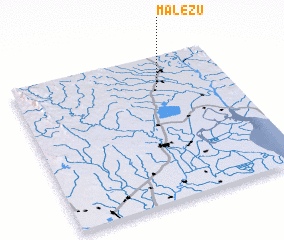 Places with similar names to Ma-lezu, Myanmar ::
Disclaimer :: Information on this page comes without warranty of any kind |
||
|
Where is Ma-lezu? Elevation and coordinates ::
Latitude (lat): 17°47'0"N Longitude (lon): 96°40'0"E
Elevation (approx.): 16m (map arrows pan, magnifying glasses zoom) |
||
|
Visiting Ma-lezu? Hotel/Accommodation ::
Book a hotel in Ma-lezu Travel Guide ::
Buy a travel guide for Myanmar rental cars ::
car rental offers GPS waypoint ::
download a GPX waypoint (PoI) of Ma-lezu for your GPS receiver
|
||