|
search place name
|
||
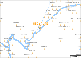
Megyaung (Myanmar)Megyaung is a town in Myanmar. An overview map of the region around Megyaung is displayed below.
regional and 3d topo map of Megyaung, Myanmar ::
Megyaung airports ::
The nearest airport is KYP - Kyaukpyu, located 140.6 km south west of Megyaung.
Other airports nearby include AKY - Sittwe (185.8 km west), SNW - Thandwe (188.8 km south), MDL - Mandalay Intl (221.9 km north east), Nearby towns ::
Kathet (0.0km north) //
Kuntha (1.9km north) //
Nyaunggaing (1.9km north) //
Teteneik (2.5km south west) //
Aingma (2.5km south west) //
Paungywa (2.5km north east) //
Sedaw (3.9km south west) //
Tinbyingwe (5.1km south west) //
Zibyugon (5.8km north) //
Kyigan (6.6km north east) //
Kuywa (6.6km north east) //
Nyaunggon (6.4km north east) //
Matawgyi (7.6km north east) //
Kyaukmasin (8.2km south west) //
Shwegyaung (8.2km north east) //
Sitha (8.2km north east) //
Kodaung (7.9km south west) //
Uyin (9.1km south west) //
Kaingmagyi (8.9km south west) //
Ywathit (10.2km north east) //
Mannachingon (10.2km north east) //
[all distances 'as the bird flies' and approximate] 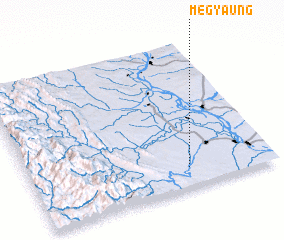 Places with similar names to Megyaung, Myanmar ::
// Mawgyaung (MM)
// Mawgyaung (MM)
// Migyaung (MM)
// Migyaung-u (MM)
// Mogyŏng (KP)
// Majiayang (CN)
// Majiaying (CN)
// Meijiaying (CN)
// Miaojiaying (CN)
// Miaojiaying (CN)
Disclaimer :: Information on this page comes without warranty of any kind |
||
|
Where is Megyaung? Elevation and coordinates ::
Latitude (lat): 20°8'0"N Longitude (lon): 94°39'0"E
Elevation (approx.): 73m (map arrows pan, magnifying glasses zoom) |
||
|
Visiting Megyaung? Hotel/Accommodation ::
Book a hotel in Megyaung Travel Guide ::
Buy a travel guide for Myanmar rental cars ::
car rental offers GPS waypoint ::
download a GPX waypoint (PoI) of Megyaung for your GPS receiver
|
||