|
search place name
|
||
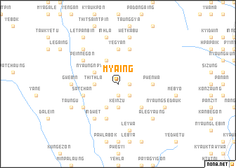
My-aing (Shan, Myanmar)My-aing is a town in the Shan region of Myanmar. An overview map of the region around My-aing is displayed below.
regional and 3d topo map of My-aing, Myanmar ::
My-aing airports ::
The nearest airport is HEH - Heho, located 44.1 km south east of My-aing.
Other airports nearby include MDL - Mandalay Intl (91.3 km north west), LSH - Lashio (248.7 km north east), Nearby towns ::
Ingaung (1.7km east) //
Pyida (1.9km south) //
Hpyugyaung (2.5km south east) //
Keinzu (3.7km south) //
Sitsegon (3.5km west) //
Thithla (3.5km west) //
Nyaunggon (4.1km north west) //
Kanbyin (4.1km south west) //
Nyaungnpyuyo (3.9km north west) //
Mwinigon (5.1km south east) //
Pwe-nwa (5.2km east) //
Ye-gyan (5.6km north) //
Tatkon (5.6km north) //
Myazedi (5.8km north) //
Satchan (5.5km west) //
Myinle (5.8km south) //
Peinnegon (6.4km north west) //
Shanle-u (6.4km south west) //
Telu (6.5km south west) //
Indwet (6.5km south west) //
Gwebin (6.9km west) //
Leywa (7.6km south) //
Pawzaw (7.6km north) //
Wetkabu (7.6km north) //
Inhla (7.6km north) //
Inhlaywathit (7.6km north) //
Nyaung-aing (7.6km north west) //
Alegyaung (7.6km south east) //
Nyaungsedauk (7.8km south east) //
[all distances 'as the bird flies' and approximate] 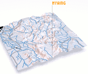 Places with similar names to My-aing, Myanmar ::
Disclaimer :: Information on this page comes without warranty of any kind |
||
|
Where is My-aing? Elevation and coordinates ::
Latitude (lat): 21°3'0"N Longitude (lon): 96°31'0"E
Elevation (approx.): 1194m (map arrows pan, magnifying glasses zoom) |
||
|
Visiting My-aing? Hotel/Accommodation ::
Book a hotel in My-aing Travel Guide ::
Buy a travel guide for Myanmar rental cars ::
car rental offers GPS waypoint ::
download a GPX waypoint (PoI) of My-aing for your GPS receiver
|
||