|
search place name
|
||
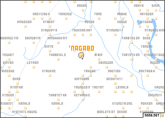
Nagabo (Sagaing, Myanmar)Nagabo is a town in the Sagaing region of Myanmar. An overview map of the region around Nagabo is displayed below.
regional and 3d topo map of Nagabo, Myanmar ::
Nagabo airports ::
The nearest airport is MDL - Mandalay Intl, located 113.6 km south east of Nagabo.
Other airports nearby include HEH - Heho (248.8 km south east), Nearby towns ::
Aungchantha (1.9km north) //
Shawbyu (2.5km south east) //
Kalagon (2.5km north west) //
Kyu-in (2.5km north west) //
Taungbo (3.7km south) //
Inbin (3.4km east) //
Tawdan (4.1km south east) //
Hinthama (5.6km south) //
Taukkashat (5.6km north) //
Ingamyin (5.6km north) //
Thabeikle (5.1km west) //
Yinyè (5.1km west) //
Kainggan (5.5km east) //
Ta-negyigon (5.8km north) //
Tetkaung (5.8km north) //
Gaungzu (6.3km north west) //
Minshwehnit (6.3km north west) //
Aingya (7.4km south) //
Myenigon (7.4km south) //
Taunggon (7.4km south) //
Ywathit (7.6km south) //
Einya (7.1km west) //
Penwe (7.6km north) //
Kyaukmè (7.8km south west) //
Yagyat (8.2km south east) //
Okshitkon (8.2km south east) //
Tandawgon (8.2km south east) //
Magyi-ok (7.8km south east) //
Tantabin (7.8km south east) //
[all distances 'as the bird flies' and approximate] 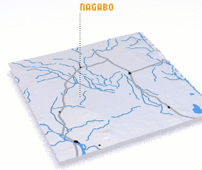 Places with similar names to Nagabo, Myanmar ::
Disclaimer :: Information on this page comes without warranty of any kind |
||
|
Where is Nagabo? Elevation and coordinates ::
Latitude (lat): 22°32'0"N Longitude (lon): 95°20'0"E
Elevation (approx.): 102m (map arrows pan, magnifying glasses zoom) |
||
|
Visiting Nagabo? Hotel/Accommodation ::
Book a hotel in Nagabo Travel Guide ::
Buy a travel guide for Myanmar rental cars ::
car rental offers GPS waypoint ::
download a GPX waypoint (PoI) of Nagabo for your GPS receiver
|
||