|
search place name
|
||
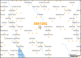
Namtong (Shan, Myanmar)Namtong is a town in the Shan region of Myanmar. An overview map of the region around Namtong is displayed below.
regional and 3d topo map of Namtong, Myanmar ::
Namtong airports ::
The nearest airport is HEH - Heho, located 58.1 km north west of Namtong.
Other airports nearby include MDL - Mandalay Intl (192.2 km north west), Nearby towns ::
Me-kang (1.7km west) //
Namhu (1.7km west) //
Hpakpom (2.5km south west) //
Htihkawng (3.5km east) //
Pongpe (3.9km south east) //
Nammawn (3.9km south west) //
Ondaing (3.9km south west) //
Nawngheng (5.1km south east) //
Htamhpi (5.6km north) //
Na-keng (5.6km north) //
Konlaung (5.5km west) //
Makkinu (5.8km south) //
Hsele (5.8km south) //
Nawngheng (5.8km north) //
Pangtun (6.4km north east) //
Loi-hkaw (6.6km south west) //
Kawngmu (7.4km south) //
Namtok (7.6km south) //
Hpa-khi (7.6km south) //
Loi-yang (8.2km south west) //
[all distances 'as the bird flies' and approximate] 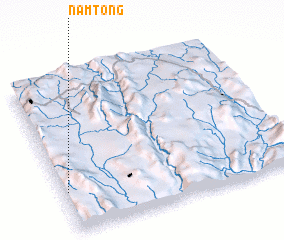 Places with similar names to Namtong, Myanmar ::
Disclaimer :: Information on this page comes without warranty of any kind |
||
|
Where is Namtong? Elevation and coordinates ::
Latitude (lat): 20°16'0"N Longitude (lon): 97°1'0"E
Elevation (approx.): 1361m (map arrows pan, magnifying glasses zoom) |
||
|
Visiting Namtong? Hotel/Accommodation ::
Book a hotel in Namtong Travel Guide ::
Buy a travel guide for Myanmar rental cars ::
car rental offers GPS waypoint ::
download a GPX waypoint (PoI) of Namtong for your GPS receiver
|
||