|
search place name
|
||
Natkyauk (Rakhine, Myanmar)Natkyauk is a town in the Rakhine region of Myanmar. An overview map of the region around Natkyauk is displayed below.
regional and 3d topo map of Natkyauk, Myanmar ::

Natkyauk airports ::
The nearest airport is KYP - Kyaukpyu, located 51.6 km south west of Natkyauk.
Other airports nearby include AKY - Sittwe (129.6 km north west), SNW - Thandwe (132.2 km south), Nearby towns ::
Kanzali (0.0km north) //
Taungchaung (1.7km west) //
Nyun-gyaw (1.7km west) //
Wetmedu (1.7km east) //
Munhla (2.5km south west) //
Seingbaik (4.0km south west) //
Pepalwe (4.0km south west) //
Pyet-ywa (4.1km north east) //
Hkamaungchaung (5.1km south west) //
Kywegu (5.1km south west) //
Sakanmaw (5.1km north east) //
Thado (5.2km west) //
Pyindaung (5.6km north) //
Yeyinchaungwa (5.6km east) //
Me-ywa (5.8km south) //
Lôk-ywa (5.6km west) //
Sondegwason (6.4km north east) //
Mayandaung (6.6km south west) //
Dodanchaung (6.6km south east) //
Zegaung (7.0km east) //
Gelaung (7.6km north) //
Tandin (7.6km south) //
Dattaung (7.6km south west) //
Kinche (7.9km south west) //
Wechaung (8.2km south east) //
Chaungbauk (8.9km south west) //
Kanswe (9.1km south west) //
Kan-ywa (8.9km north east) //
[all distances 'as the bird flies' and approximate] 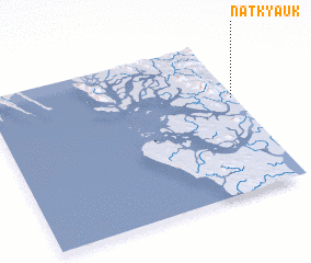 Places with similar names to Natkyauk, Myanmar ::
// Na-ta-kyaik (MM)
Disclaimer :: Information on this page comes without warranty of any kind |
||
|
Where is Natkyauk? Elevation and coordinates ::
Latitude (lat): 19°37'0"N Longitude (lon): 93°59'0"E
Elevation (approx.): 3m (map arrows pan, magnifying glasses zoom) |
||
|
Visiting Natkyauk? Hotel/Accommodation ::
Book a hotel in Natkyauk Travel Guide ::
Buy a travel guide for Myanmar rental cars ::
car rental offers GPS waypoint ::
download a GPX waypoint (PoI) of Natkyauk for your GPS receiver
|
||