|
search place name
|
||
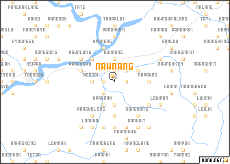
Nawn-ang (Shan, Myanmar)Nawn-ang is a town in the Shan region of Myanmar. An overview map of the region around Nawn-ang is displayed below.
regional and 3d topo map of Nawn-ang, Myanmar ::
Nawn-ang airports ::
The nearest airport is LSH - Lashio, located 54.2 km north east of Nawn-ang.
Other airports nearby include MDL - Mandalay Intl (178.6 km south west), HEH - Heho (215.1 km south), Nearby towns ::
Möng Lang (1.7km east) //
Samkoi (1.7km east) //
Namhpa (1.7km west) //
Ho-na (1.9km north) //
Mān Kop (2.5km north east) //
Konghsa (2.5km north east) //
Sempoi (2.5km south west) //
Honawng (3.7km north) //
Nampongpang (3.7km south) //
Nā-phai (3.4km west) //
Pengoi (3.4km west) //
Hpaknam (4.1km south west) //
Sānghān (3.9km north east) //
Hatnānglen (5.0km north west) //
Pongmai (5.0km north west) //
Nākāng (5.6km south) //
Nā-pawng (5.1km east) //
Hpāpeng (5.8km north) //
Pang-hsao (5.5km west) //
Hsunlöng (6.3km north west) //
Hsoplöng (6.3km north west) //
Kongmöng (6.5km south east) //
Nā-keng (6.3km south east) //
Pāngwoleng (6.5km south west) //
Pānghkam (7.4km north) //
Nawnglou (7.4km south) //
Makmöngheng (7.6km south) //
Man Na (7.6km south) //
Pānghkāng (7.8km north east) //
[all distances 'as the bird flies' and approximate] 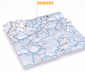 Places with similar names to Nawn-ang, Myanmar ::
Disclaimer :: Information on this page comes without warranty of any kind |
||
|
Where is Nawn-ang? Elevation and coordinates ::
Latitude (lat): 22°36'0"N Longitude (lon): 97°25'0"E
Elevation (approx.): 554m (map arrows pan, magnifying glasses zoom) |
||
|
Visiting Nawn-ang? Hotel/Accommodation ::
Book a hotel in Nawn-ang Travel Guide ::
Buy a travel guide for Myanmar rental cars ::
car rental offers GPS waypoint ::
download a GPX waypoint (PoI) of Nawn-ang for your GPS receiver
|
||