|
search place name
|
||
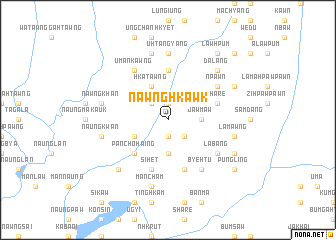
Nawnghkawk (Kachin State, Myanmar)Nawnghkawk is a town in the Kachin State region of Myanmar. An overview map of the region around Nawnghkawk is displayed below.
regional and 3d topo map of Nawnghkawk, Myanmar ::
Nawnghkawk airports ::
The nearest airport is MYT - Myitkyina, located 100.1 km north of Nawnghkawk.
Other airports nearby include LSH - Lashio (169.9 km south), Nearby towns ::
Krawn Dumhpawng (1.9km south) //
Namyawk (1.9km north) //
Namsai Hkau (1.9km north) //
Labang (2.5km south east) //
Krawn (2.5km south east) //
Wajik (2.5km south east) //
Numlang (2.5km north west) //
Namyau (3.7km south) //
Jawmaw (3.4km east) //
Namting (3.8km south west) //
Hkatawng (4.1km north west) //
Panchohaing (5.0km south west) //
Shayang (5.6km north) //
Pangsak (5.6km north) //
Sihet (5.8km south) //
Mainghka (5.8km south) //
Shāre (5.4km east) //
Tunhon (5.8km south) //
Uman Kawng (6.5km north west) //
Labang (6.3km south east) //
Shantum (6.3km north east) //
N'pawn (6.3km north east) //
Sinyu (6.5km south east) //
Byehtu (6.5km south east) //
Uhtang Yang (7.4km north) //
Mān Cham (7.6km south) //
Naungkwan (7.0km west) //
Nawngkhan (7.0km west) //
Lāmawng (7.0km east) //
[all distances 'as the bird flies' and approximate] 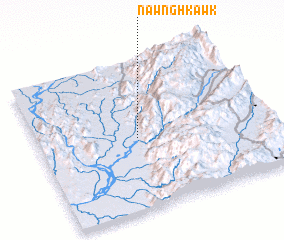 Places with similar names to Nawnghkawk, Myanmar ::
// Ninghku Ga (MM)
Disclaimer :: Information on this page comes without warranty of any kind |
||
|
Where is Nawnghkawk? Elevation and coordinates ::
Latitude (lat): 24°29'0"N Longitude (lon): 97°26'0"E
Elevation (approx.): 185m (map arrows pan, magnifying glasses zoom) |
||
|
Visiting Nawnghkawk? Hotel/Accommodation ::
Book a hotel in Nawnghkawk Travel Guide ::
Buy a travel guide for Myanmar rental cars ::
car rental offers GPS waypoint ::
download a GPX waypoint (PoI) of Nawnghkawk for your GPS receiver
|
||