|
search place name
|
||
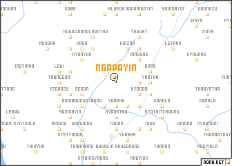
Ngapayin (Sagaing, Myanmar)Ngapayin is a town in the Sagaing region of Myanmar. An overview map of the region around Ngapayin is displayed below.
regional and 3d topo map of Ngapayin, Myanmar ::
Ngapayin airports ::
The nearest airport is MDL - Mandalay Intl, located 120.3 km south east of Ngapayin.
Other airports nearby include HEH - Heho (255.3 km south east), Nearby towns ::
Natywa (3.4km east) //
Ywashe (3.7km south) //
Kyogon (3.9km south east) //
Pèbyittaw West (4.1km south east) //
Siba (4.1km south west) //
Aingshe (5.0km north east) //
Pèbyittaw East (5.0km south east) //
Nyintha (5.1km east) //
Ywatha (5.1km east) //
Myauktaw (5.6km south) //
Okpo (5.5km east) //
Kinzan (5.8km north) //
Seikthagon (5.5km east) //
Sègon (5.5km west) //
Sinyan (6.5km north east) //
Wundon (6.5km north west) //
Kyonywa (6.3km north west) //
Aingbaunggyaung (6.3km south west) //
Tadan (7.4km south) //
Maungdaung (7.1km west) //
Pyindaung (7.1km west) //
Indaing (7.6km north west) //
Kado (7.6km north west) //
Yedwet (8.2km north east) //
Aungchantha (8.2km north west) //
Hnawyin (8.2km south east) //
Kanhla (7.8km south east) //
Ngayewin (8.8km north west) //
Myothitchaung (8.8km south east) //
[all distances 'as the bird flies' and approximate] 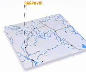 Places with similar names to Ngapayin, Myanmar ::
// Ngapyin (MM)
Disclaimer :: Information on this page comes without warranty of any kind |
||
|
Where is Ngapayin? Elevation and coordinates ::
Latitude (lat): 22°28'0"N Longitude (lon): 95°9'0"E
Elevation (approx.): 115m (map arrows pan, magnifying glasses zoom) |
||
|
Visiting Ngapayin? Hotel/Accommodation ::
Book a hotel in Ngapayin Travel Guide ::
Buy a travel guide for Myanmar rental cars ::
car rental offers GPS waypoint ::
download a GPX waypoint (PoI) of Ngapayin for your GPS receiver
|
||