|
search place name
|
||
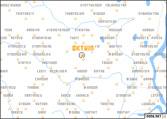
Oktwin (Ayeyarwady, Myanmar)Oktwin is a town in the Ayeyarwady region of Myanmar. An overview map of the region around Oktwin is displayed below.
regional and 3d topo map of Oktwin, Myanmar ::
Oktwin airports ::
The nearest airport is SNW - Thandwe, located 119.3 km north west of Oktwin.
Other airports nearby include RGN - Yangon Intl (145.1 km south east), KYP - Kyaukpyu (247.7 km north west), Nearby towns ::
Tatsu (NaNkm north) //
Wettan (2.6km south west) //
Kayingu (2.6km south west) //
Dawpegwin (2.6km north east) //
Dogon (3.7km south) //
Ongon (3.7km north) //
Okshitkon (4.0km north west) //
Tugyi (4.1km north west) //
Sinthe (5.1km south east) //
Sigaing (5.1km south east) //
Inbingon (5.6km south) //
Kyeiktaw (5.6km north) //
Titidu (5.6km north) //
Anyazu (5.3km east) //
Tawwin (5.6km east) //
Singaung-in (5.8km north) //
Sinbon (5.6km east) //
Payāgwin-yele (6.6km south west) //
Payagwin (6.6km south west) //
Mezaligon (6.5km south west) //
Didokkon (6.5km north east) //
Pando (6.5km north east) //
Inbingon (7.1km east) //
Gyobin (7.1km east) //
Magyigon (7.3km west) //
Inwingon (7.6km south) //
Bwetkyi (7.3km east) //
Kyeingyongon (7.7km north west) //
Taukkyangwin (7.7km north east) //
[all distances 'as the bird flies' and approximate] 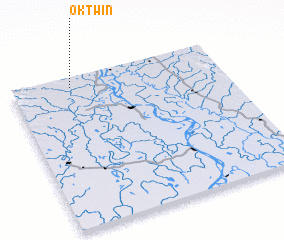 Places with similar names to Oktwin, Myanmar ::
Disclaimer :: Information on this page comes without warranty of any kind |
||
|
Where is Oktwin? Elevation and coordinates ::
Latitude (lat): 17°56'0"N Longitude (lon): 95°17'0"E
Elevation (approx.): 21m (map arrows pan, magnifying glasses zoom) |
||
|
Visiting Oktwin? Hotel/Accommodation ::
Book a hotel in Oktwin Travel Guide ::
Buy a travel guide for Myanmar rental cars ::
car rental offers GPS waypoint ::
download a GPX waypoint (PoI) of Oktwin for your GPS receiver
|
||