|
search place name
|
||
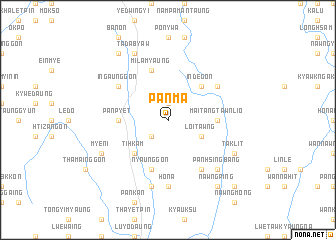
Panma (Shan, Myanmar)Panma is a town in the Shan region of Myanmar. An overview map of the region around Panma is displayed below.
regional and 3d topo map of Panma, Myanmar ::
Panma airports ::
The nearest airport is HEH - Heho, located 41.4 km south west of Panma.
Other airports nearby include MDL - Mandalay Intl (123.3 km north west), LSH - Lashio (224.9 km north), Nearby towns ::
Munpin (1.9km north) //
Tutnibin (2.5km south west) //
Loi Tawng (3.9km south east) //
Indegon (5.1km north east) //
Tihkam (5.1km south west) //
Mai Tang Tawn Lio (5.2km east) //
Panpyet (5.2km west) //
Nyaunggon (5.8km south) //
Milamyaung (5.8km north) //
Nyaungzin (6.5km south east) //
Wān Hsan Hpaw (6.4km north east) //
Ingaunggon (6.4km north west) //
Taletpin (6.4km north west) //
Hona (7.4km south) //
Yegyokonbaw (7.4km south) //
Myozo (7.6km south) //
Pan Hsingbang (7.6km south east) //
Taklit (7.8km south east) //
Myeni (7.8km south west) //
Tadabyaw (8.2km north west) //
Nawng Ping (9.0km south east) //
Sizon (9.0km north west) //
Mai Tang Hsong (10.1km south east) //
[all distances 'as the bird flies' and approximate] 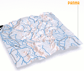 Places with similar names to Panma, Myanmar ::
Disclaimer :: Information on this page comes without warranty of any kind |
||
|
Where is Panma? Elevation and coordinates ::
Latitude (lat): 21°5'0"N Longitude (lon): 96°58'0"E
Elevation (approx.): 1055m (map arrows pan, magnifying glasses zoom) |
||
|
Visiting Panma? Hotel/Accommodation ::
Book a hotel in Panma Travel Guide ::
Buy a travel guide for Myanmar rental cars ::
car rental offers GPS waypoint ::
download a GPX waypoint (PoI) of Panma for your GPS receiver
|
||