|
search place name
|
||
Pein-nēchaung (Rakhine, Myanmar)Pein-nēchaung is a town in the Rakhine region of Myanmar. An overview map of the region around Pein-nēchaung is displayed below.
regional and 3d topo map of Pein-nēchaung, Myanmar ::

Pein-nēchaung airports ::
The nearest airport is SNW - Thandwe, located 52.7 km south east of Pein-nēchaung.
Other airports nearby include KYP - Kyaukpyu (82.0 km north west), AKY - Sittwe (185.9 km north west), Nearby towns ::
Nga Thamôk (1.9km north) //
Ywabyin (1.8km east) //
Yegaungchaung (1.8km east) //
Bawhti (3.5km east) //
Hlebauk (4.1km north east) //
Magyi-ywa (9.1km south east) //
[all distances 'as the bird flies' and approximate] 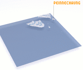 Places with similar names to Pein-nēchaung, Myanmar ::
// Peinchaung (MM)
// Peinchaung (MM)
// Peinchaung (MM)
// Pein Shaung (MM)
// Peinshaung (MM)
// Ponchaung (MM)
// Penchenga (RU)
// Pontianak (ID)
// Panchang (GM)
// Panachêngua (MZ)
Disclaimer :: Information on this page comes without warranty of any kind |
||
|
Where is Pein-nēchaung? Elevation and coordinates ::
Latitude (lat): 18°48'0"N Longitude (lon): 93°57'0"E
Elevation (approx.): 35m (map arrows pan, magnifying glasses zoom) |
||
|
Visiting Pein-nēchaung? Hotel/Accommodation ::
Book a hotel in Pein-nēchaung Travel Guide ::
Buy a travel guide for Myanmar rental cars ::
car rental offers GPS waypoint ::
download a GPX waypoint (PoI) of Pein-nēchaung for your GPS receiver
|
||